La Albuera
La Albuera is a village southeast of Badajoz, Extremadura, Spain. As of 2009 it had a population of c. 2,000 inhabitants.
La Albuera | |
|---|---|
 | |
 Coat of arms | |
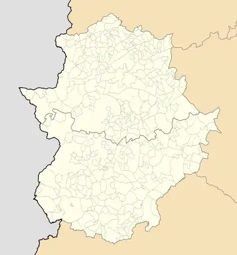 La Albuera Location of La Albuera within Extremadura | |
| Coordinates: 38°42′58″N 6°49′26″W | |
| Country | |
| Autonomous community | |
| Province | Badajoz |
| Comarca | Tierra de Badajoz |
| Judicial district | Badajoz |
| Government | |
| • Mayor | Manuel Antonio Díaz González (PSOE) |
| Area | |
| • Total | 26.4 km2 (10.2 sq mi) |
| Elevation | 253 m (830 ft) |
| Population (2018)[1] | |
| • Total | 2,029 |
| • Density | 77/km2 (200/sq mi) |
| Demonym(s) | Albuereños |
| Time zone | UTC+1 (CET) |
| • Summer (DST) | UTC+2 (CEST) |
| Postal code | 06170 |
| Website | Official website |
History
It was scene of the Battle of Albuera (May 16, 1811) between Spanish, Portuguese and British troops under William Carr Beresford and the French ones led by Marshal Soult, in the course of the Peninsular war.
Geography
Located south of the city of Badajoz and next to the Spanish borders with Portugal, La Albuera is, along with Guadiana del Caudillo,[2] an enclave entirely surrounded by the municipal territory of Badajoz.[3][4]
References
- Municipal Register of Spain 2018. National Statistics Institute.
- 4094691 Guadiana del Caudillo on OpenStreetMap
- 1809124 La Albuera on OpenStreetMap
- 342316 Badajoz on OpenStreetMap
| Wikisource has the text of the 1911 Encyclopædia Britannica article Albuera, La. |
External links
 Media related to La Albuera at Wikimedia Commons
| Authority control |
|---|
This article is issued from Wikipedia. The text is licensed under Creative Commons - Attribution - Sharealike. Additional terms may apply for the media files.