La Esperanza Airport (Intibucá)
La Esperanza Airport (IATA: LEZ, ICAO: MHLE) is an airport serving the cities of La Esperanza and Intibucá in the Intibucá Department of Honduras.
La Esperanza Airport | |||||||||||
|---|---|---|---|---|---|---|---|---|---|---|---|
| Summary | |||||||||||
| Airport type | Public | ||||||||||
| Serves | La Esperanza, Honduras | ||||||||||
| Elevation AMSL | 5,492 ft / 1,674 m | ||||||||||
| Coordinates | 14°17′25″N 88°10′30″W | ||||||||||
| Map | |||||||||||
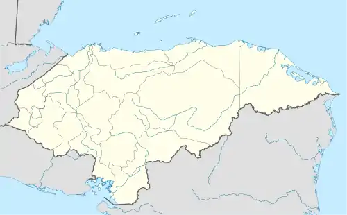 LEZ Location of the airport in Honduras | |||||||||||
| Runways | |||||||||||
| |||||||||||
The airport is 1.6 kilometres (1 mi) south of La Esperanza. There is rising terrain northwest and southeast of the runway.
The Soto Cano VORTAC (Ident: ESC) is located 32.7 nautical miles (60.6 km) east of the airport.[4]
See also
 Aviation portal
- List of airports in Honduras
- Transport in Honduras
References
- Airport information for La Esperanza Airport at Great Circle Mapper.
- Google Maps - La Esperanza
- "La Esperanza Airport". SkyVector. Retrieved 3 October 2018.
- "Soto Cano VORTAC". Our Airports. Retrieved 3 October 2018.
External links
- HERE Maps - La Esperanza
- OpenStreetMaps - La Esperanza
- OurAirports - La Esperanza
- Accident history for LEZ at Aviation Safety Network
This article is issued from Wikipedia. The text is licensed under Creative Commons - Attribution - Sharealike. Additional terms may apply for the media files.
