Lake Oconee
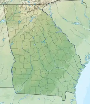
Lake Oconee is a reservoir in central Georgia, United States, on the Oconee River near Greensboro and Eatonton. It was created in 1979 when Georgia Power completed the construction of the Wallace Dam on the Oconee River.
| Lake Oconee | |
|---|---|
 | |
 Lake Oconee  Lake Oconee | |
| Location | Georgia |
| Coordinates | 33.350°N 83.157°W |
| Type | reservoir |
| Primary inflows | Oconee River, Apalachee River (Georgia) |
| Primary outflows | Oconee River |
| Basin countries | United States |
| Max. length | 20 mi (32 km) |
| Max. width | Less than 1-mile (1.6 km) |
| Surface area | 19,071 acres (7,718 ha) |
| Average depth | 21 ft (6.4 m) |
| Max. depth | 225 feet (69 m) |
| Shore length1 | 376 mi (605 km) |
| Surface elevation | 434 ft (132 m) |
| 1 Shore length is not a well-defined measure. | |
Lake Oconee runs through Georgia's Morgan, Greene, and Putnam counties and is separated from its sister lake, Sinclair, by Wallace Dam.
Hydrology
Lake Oconee serves as a reservoir for Georgia Power Company's Wallace Hydroelectric Plant. The lake has 374 miles of shoreline with a surface area of 19,971 acres. It is formed by the Oconee River and Apalachee River (Georgia)
Housing
Lake Oconee is home to a number of golf communities, including Reynolds Lake Oconee, Cuscowilla, and Harbor Club. There are also senior living communities including Del Webb at Lake Oconee.
References
- Henry Gannett (1905). The origin of certain place names in the United States. Govt. Print. Off. pp. 228–. Retrieved 17 July 2012.
