Lawndale, Minnesota
Lawndale is an unincorporated community in Prairie View Township, Wilkin County, Minnesota, United States.[1]
Lawndale | |
|---|---|
 Lawndale  Lawndale | |
| Coordinates: 46°33′25″N 96°21′37″W | |
| Country | United States |
| State | Minnesota |
| County | Wilkin |
| Elevation | 1,070 ft (330 m) |
| Time zone | UTC-6 (Central (CST)) |
| • Summer (DST) | UTC-5 (CDT) |
| Area code(s) | 218 |
| GNIS feature ID | 646532[1] |
The community is located between Rothsay and Barnesville at the junction of County Road 30 and County Road 52.
Lawndale is immediately west of the junction of Interstate 94 and State Highway 108 / County 30.
References
Rand McNally Road Atlas - 2007 edition - Minnesota entry
Official State of Minnesota Highway Map - 2007/2008 edition
Municipalities and communities of Wilkin County, Minnesota, United States | ||
|---|---|---|
| Cities | 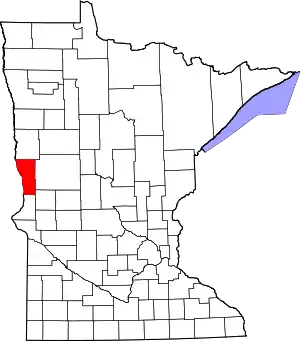 Map of Minnesota highlighting Wilkin County | |
| Townships | ||
| Unincorporated communities | ||
| Footnotes | ‡This populated place also has portions in an adjacent county or counties | |
| ||
This article is issued from Wikipedia. The text is licensed under Creative Commons - Attribution - Sharealike. Additional terms may apply for the media files.