Les Pavillons-sous-Bois
Les Pavillons-sous-Bois is a commune in the eastern suburbs of Paris, France. It is located 12.8 km (8.0 mi) from the center of Paris.
Les-Pavillons-sous-Bois | |
|---|---|
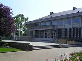 Les Pavillons-sous-Bois town hall | |
 Coat of arms | |
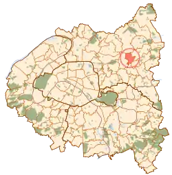 Paris and inner ring departments | |
Location of Les-Pavillons-sous-Bois 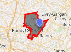
| |
 Les-Pavillons-sous-Bois Paris and inner ring departments 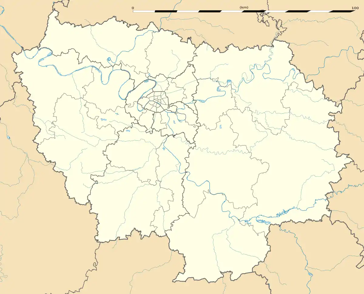 Les-Pavillons-sous-Bois Les-Pavillons-sous-Bois (Île-de-France (region)) | |
| Coordinates: 48°54′N 2°30′E | |
| Country | France |
| Region | Île-de-France |
| Department | Seine-Saint-Denis |
| Arrondissement | Le Raincy |
| Canton | Bondy |
| Intercommunality | Grand Paris |
| Government | |
| • Mayor (2020–2026) | Katia Coppi |
| Area 1 | 2.92 km2 (1.13 sq mi) |
| Population (2017-01-01)[1] | 23,962 |
| • Density | 8,200/km2 (21,000/sq mi) |
| Time zone | UTC+01:00 (CET) |
| • Summer (DST) | UTC+02:00 (CEST) |
| INSEE/Postal code | 93057 /93320 |
| 1 French Land Register data, which excludes lakes, ponds, glaciers > 1 km2 (0.386 sq mi or 247 acres) and river estuaries. | |
History
The commune of Les Pavillons-sous-Bois was created on 3 January 1905 by detaching its territory from the commune of Bondy but the first traces of activity on its territory are found around the 17th century. The name of the commune literally means "the lodges under wood". The lodges mentioned in the name are two guard lodges, built of local stone around 1770 and rehabilitated in 1998, that were located at the entrance of the estate belonging to the château du Raincy.[2] The wood mentioned in the name is the ancient Bondy Forest which covered most of the area to the northeast of Paris.
Transport
Les Pavillons-sous-Bois is served by no station of the Paris Métro or RER, but since 2006 its own Tram station on line ![]()
![]() , Les Pavillons-sous-bois. The closest RER station to Les Pavillons-sous-Bois is Le Raincy – Villemomble – Montfermeil station on Paris RER line
, Les Pavillons-sous-bois. The closest RER station to Les Pavillons-sous-Bois is Le Raincy – Villemomble – Montfermeil station on Paris RER line ![]() . This station is located in the neighboring commune of Le Raincy, 3.2 km (2.0 mi) from the centre of Les Pavillons-sous-Bois.
. This station is located in the neighboring commune of Le Raincy, 3.2 km (2.0 mi) from the centre of Les Pavillons-sous-Bois.
Urban morphology
The city shows various aspects. The Canal of Ourcq, channel built by Napoleon III to bring more water to Paris, and the national road RN3 constitute since the creation of the city a double line of parting between the south zone, dedicated to traditional habitat (mainly houses with gardens) and urban activities, and the north zone, for a long time underprivileged, more industrial, nowadays in a rehabilitation process including new habitation areas, sports and leisure areas along the channel and new public service buildings.
Education
Schools:[3]
- Preschools: École Robillard, Marguerite Léopold, Jean-Macé, Eugène Fischer, Fontenoy
- Elementary schools: École Robillard, Julie-Victoire Daubié, Monceau, Pierre Brossolette, Fontenoy
- One special primary school (primaire d'application): École Jules Verne
- Public junior high schools: Collège Anatole France and Collège Eric Tabarly
- Public senior high schools: Lycée Professionnel Nicolas Ledoux
- A private elementary-junior high school: Ecole-Collège privé de l'Alliance
Personalities
- Herve Batomenila, footballer
- Aïda Fall, basketball player
References
- "Populations légales 2017". INSEE. Retrieved 6 January 2020.
- Pavillons de garde des Pavillons-sous-Bois Archived 2014-05-19 at the Wayback Machine
- "Annuaire des établissements scolaires." Les Pavillons-sous-Bois. Retrieved on September 7, 2016.
External links
| Wikimedia Commons has media related to Les Pavillons-sous-Bois. |
- Official website (in French)
| Authority control |
|---|