Llwynhendy
Llwynhendy sometimes spelt Llwyn-Hendy is a village near the town of Llanelli in Carmarthenshire (Sir Gaerfyrddin), Wales with a population of the 'Llwynhendy ward' which includes Llwynhendy, Cefncaeau, parts of Cwmcarnhywel, parts of Bryn and Penceilogi at 4,276. The village's name can be split up into three words. The first is Llwyn meaning grove, the second is hen meaning old and the third is 'dy' (house) which is mutated after 'hen' changes the original word 'tŷ' into 'dŷ'.This suggests that the village's name derives from the old chapel of ease of Dewi Sant which is the 'house' in the village's name which is near a grove (the old house near a grove).
| Llwynhendy | |
|---|---|
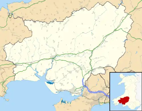 Llwynhendy Location within Carmarthenshire | |
| Population | 4,276 |
| Principal area | |
| Shire county |
|
| Country | Wales |
| Sovereign state | United Kingdom |
| Post town | LLANELLI |
| Postcode district | SA14 |
| Police | Dyfed-Powys |
| Fire | Mid and West Wales |
| Ambulance | Welsh |
| UK Parliament | |
| Senedd Cymru – Welsh Parliament | |
It is bordered by Bynea, Cwmcarnhywel, Cefncaeau and Pen-y-graig. It is an old village with strong industrial roots. The (now closed) steel-works in nearby Bynea was a major employer until the decline of the steel industry. The village is 50 ft above sea level and is based around the Nant Caerhuan that finds its source in nearby Gelli Farm, Bryn, Llanelli. The nearby WWT site in the old Penclacwydd farm near the village is the only wetland wildlife trust centre in the whole of Wales.
History
People have been living in the Llwynhendy area since Neolithic times. During the Iron Age the Llwynhendy and Bynea area was an important place as it was the river crossing of the River Loughor (Welsh: Afon Llwchwr) for the Romans. The main Roman Road ran through the villages and is now still in use as the main road which includes Pemberton Road, Heol Llwynhendy, Heol Tanygraig, Heol Cwmfelin, Heol Y Bwlch and Yspitty Road.
Llwynhendy was also an important place for pilgrims on the way to the Saint David's Cathedral (Eglwys Gadeiriol Tŷ Ddewi) in Pembrokeshire (Sir Benfro). Opposite Saint David's church in Llwynhendy stood Capel Dewi ("St David's Chapel"), a chapel of rest/ease where pilgrims travelling could stop. Today only ruins remain.
Llwynhendy became a mining village during the industrial revolution, with Tirmynydd, Hendre, Trallwm and Pencoed mines being opened. However it has always been an agricultural area as well and to this day there are many farms surrounding the village.
With the mines closing during the 1940s and 50s less work was available, until Trostre Works opened. With more people needed two council estates between Llwynhendy and Pemberton were constructed on the lands of Heol Hen Farm and Brynsierfel Farm. Cwmcarnhywel and Cefncaeau estates are locally known as the Top or bottom site (Welsh-Maesydd Pen a Gwaelod) and they are villages of their own, but are sometimes considered part of Llwynhendy.
Welsh language
The Welsh language is spoken by over half of the villagers, with Ysgol Gymraeg Brynsierfel in nearby Cwmcarnhywel the area's Welsh school. Historically Welsh has been the dominant language of the village, and up until the mid 1900s spoken by all of its population.
Religion
Llwynhendy is served by three places of worship- Capel Soar, Capel Y Tabenacl and St. Davids Church (Welsh-Eglwys Dewi Sant). Recently closed Capel Nazareth on Parc Gitto was the place of worship for the Methodists. Before baptism was legal in Great Britain, the baptists of the Llwynhendy area used to meet in Tŷ Cwrdd Farm (literally meaning meeting place farm) on Heol Hendre, Llwynhendy.
Education
Llwynhendy is served by two schools. Ysgol Gymraeg Brynsierfel, the Welsh school in nearby Cwmcarnhywel, and Ysgol Bryn Teg, the English school, which is the old Llwynhendy School.
External links
| Wikimedia Commons has media related to Llwynhendy. |
