Lower Rancheria, California
Lower Rancheria is a former settlement in Amador County, California. It was located on Rancheria Creek 2 miles (3.2 km) east-southeast of Drytown,[2] at an elevation of 1017 feet (310 m). Placer mining began at Lower Rancheria in 1848.[2]
Lower Rancheria | |
|---|---|
Former settlement | |
 Lower Rancheria Location in California | |
| Coordinates: 38°26′17″N 120°49′10″W | |
| Country | United States |
| State | California |
| County | Amador County |
| Elevation | 1,017 ft (310 m) |
References
- U.S. Geological Survey Geographic Names Information System: Lower Rancheria, California
- Durham, David L. (1998). California's Geographic Names: A Gazetteer of Historic and Modern Names of the State. Clovis, Calif.: Word Dancer Press. p. 478. ISBN 1-884995-14-4.
Municipalities and communities of Amador County, California, United States | ||
|---|---|---|
| Cities | 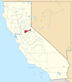 Amador County map | |
| CDPs | ||
| Unincorporated communities | ||
| Ghost towns |
| |
| Footnotes | ‡This CDP also has portions in an adjacent county or counties | |
| ||
This article is issued from Wikipedia. The text is licensed under Creative Commons - Attribution - Sharealike. Additional terms may apply for the media files.
