Lupton, Arizona
Lupton (Navajo: Tsé Siʼání) is an unincorporated community and census-designated place (CDP) in Apache County, Arizona, United States. Lupton is located along Interstate 40 at the New Mexico border, 21 miles (34 km) southwest of Gallup, New Mexico. Lupton has a post office with ZIP code 86508.[4] As of the 2010 census, the Lupton CDP had a population of 25.[5]
Lupton, Arizona | |
|---|---|
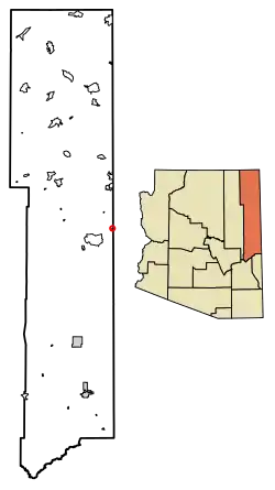 Location of Lupton in Apache County, Arizona. | |
 Lupton Location of Lupton in Apache County, Arizona. | |
| Coordinates: 35°21′14″N 109°03′13″W | |
| Country | United States |
| State | Arizona |
| County | Apache |
| Area | |
| • Total | 0.35 sq mi (0.90 km2) |
| • Land | 0.35 sq mi (0.90 km2) |
| • Water | 0.00 sq mi (0.00 km2) |
| Elevation | 6,188 ft (1,886 m) |
| Population (2010) | |
| • Total | 25 |
| • Estimate (2016)[2] | N/A |
| Time zone | UTC-7 (Mountain (MST)) |
| ZIP code | 86508 |
| Area code(s) | 928 |
| GNIS feature ID | 7549[3] |
History
Lupton was established in 1905 by trainmaster G. W. Lupton. Col. John Washington passed by here in his 1864 Navajo Campaign.[7]
References
- "2016 U.S. Gazetteer Files". United States Census Bureau. Retrieved Jul 18, 2017.
- "Population and Housing Unit Estimates". Retrieved June 9, 2017.
- U.S. Geological Survey Geographic Names Information System: Lupton, Arizona
- ZIP Code Lookup
- "Geographic Identifiers: 2010 Demographic Profile Data (G001): Lupton CDP, Arizona". U.S. Census Bureau, American Factfinder. Retrieved April 19, 2013.
- "Census of Population and Housing". Census.gov. Retrieved June 4, 2016.
- Byrd H. Granger (1960). Arizona Place Names. University of Arizona Press. p. 14. Retrieved 5 December 2011.

This article is issued from Wikipedia. The text is licensed under Creative Commons - Attribution - Sharealike. Additional terms may apply for the media files.