Lypovets
Lypovets (Ukrainian: Липовець) is a town in Vinnytsia Oblast, Ukraine. It serves as the administrative center of Lypovets Raion. Population: 8,181 (2020 est.)[1]
Lypovets
Липовець | |
|---|---|
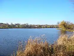 Lypovets skyline | |
 Coat of arms | |
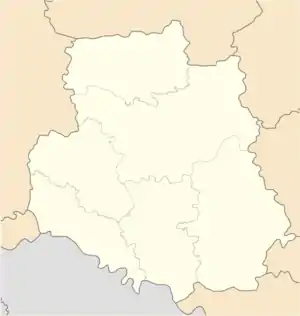 Lypovets Map of Ukraine with Lypovets highlighted 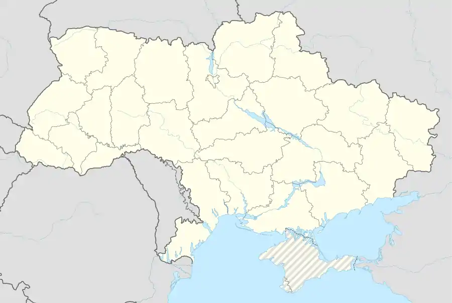 Lypovets Lypovets (Ukraine) | |
| Coordinates: 49°13′15″N 29°03′25″E | |
| Country | |
| Region | Vinnytsia Oblast |
| Raion | Lypovets Raion |
| Administrative Classification | KOATUU: 0522210100 |
| Area | |
| • Total | 10.33 km2 (3.99 sq mi) |
| Elevation | 242 m (794 ft) |
| Population (2020) | |
| • Total | 8,181 |
| • Density | 790/km2 (2,100/sq mi) |
| Demonym(s) | Lypovets' |
| Time zone | UTC+2 (EET) |
| • Summer (DST) | UTC+3 (EEST) |
| Postal code | 22500-22505 |
| Area code(s) | +380-4358 |
History
It was the administrative center of Lypovets uyezd in Kiev Governorate of the Russian Empire.
During World War II, in 1941 - 1944 it was occupied by German troops.
In January 1989 the population was 9764 people[2]
In January 2013 the population was 8727 people.[3]
Gallery
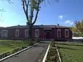 Lypovets district executive committee
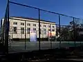 Sports ground
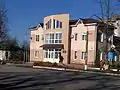 Employment centre in Lypovets
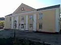 Palace of culture
References
- "Чисельність наявного населення України (Actual population of Ukraine)" (PDF) (in Ukrainian). State Statistics Service of Ukraine. Retrieved 30 September 2020.
- Всесоюзная перепись населения 1989 г. Численность городского населения союзных республик, их территориальных единиц, городских поселений и городских районов по полу
- Чисельність наявного населення України на 1 січня 2013 року. Державна служба статистики України. Київ, 2013. стор.43
External links
- Website «Наш Липовець»
- The murder of the Jews of Lypovets during World War II, at Yad Vashem website.
| Wikimedia Commons has media related to Lypovets. |
| Raions | |||||
|---|---|---|---|---|---|
| Hromadas | |||||
| Cities |
| ||||
| |||||
This article is issued from Wikipedia. The text is licensed under Creative Commons - Attribution - Sharealike. Additional terms may apply for the media files.
