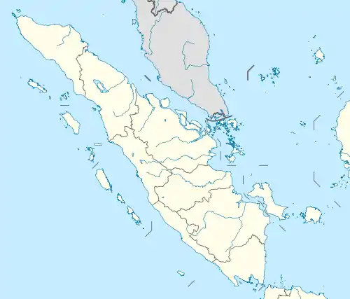
March 2007 Sumatra earthquakes
The March 2007 Sumatra earthquakes occurred near the northern end of Lake Singkarak in Sumatra, Indonesia, on March 6. The first shock in this earthquake doublet struck with a maximum Mercalli intensity of VIII (Severe) and the second shock that arrived two hours later had a maximum Mercalli intensity of VI (Strong).[4][5]
 | |
| UTC time | Doublet earthquake: |
|---|---|
| 2007-03-06 03:49:38 | |
| 2007-03-06 05:49:25 | |
| ISC event | |
| 11691339 | |
| 11691369 | |
| USGS-ANSS | |
| ComCat | |
| ComCat | |
| Local date | March 6, 2007 |
| Magnitude | |
| 6.4 Mwc[1] | |
| 6.3 Mwc[2] | |
| Epicenter | 0.49°N 100.5°E |
| Fault | Great Sumatran Fault |
| Type | Strike-slip |
| Areas affected | Indonesia |
| Max. intensity | VIII (Severe) |
| Casualties | 68 fatalities; over 460 serious injuries[3] |
Earthquakes
The initial quake at 10:49 (03:49 UTC) measured 6.4 on the moment magnitude scale and the second quake at 12:49 (05:49 UTC) measured 6.3.[4][5] The earthquakes were felt as far away as Singapore and Malaysia, which prompted the evacuation of some buildings there.[6]
Effects
Over 60 fatalities and 460 serious injuries have been reported, spread across many towns and regencies in West Sumatra.[3] Over 43,000 houses were damaged, with over 12,000 of those severely damaged.[7] The severe damage to other structures includes over 130 public facilities, 310 mosques, 60 government buildings, 370 schools, and 230 shops.[7] According to the governor of West Sumatra, Agam Regency is the worst affected area, though other areas including Solok Regency and Tanah Datar are also badly affected.[8] The total value of damage is estimated to be around 1.4 trillion Indonesian rupiah (US$160 million).[7]
Response
A variety of local and international aid organizations have deployed to the region to assist victims. A number of countries have pledged aid, including the Netherlands (US$2.0 million), Sweden (US$1.0 million), Canada (US$0.21 million), Malaysia (US$0.16 million), United States (US$0.1 million) and Taiwan (US$0.06 million). The US AID has supplied them with all sorts of essentials like blankets, water, food and first aid kits.
References
- ANSS. "Sumatra 2007a". Comprehensive Catalog. U.S. Geological Survey.
- ANSS. "Sumatra 2007b". Comprehensive Catalog. U.S. Geological Survey.
- "Indonesia: Earthquakes West Sumatra Province OCHA Situation Report No. 6" (Press release). United Nations Office for the Coordination of Humanitarian Affairs. 2007-03-16. Retrieved 2007-03-16.
- USGS. "M6.4 - southern Sumatra, Indonesia". United States Geological Survey.
- USGS. "M6.3 - southern Sumatra, Indonesia". United States Geological Survey.
- "Quakes kill 82 in Indonesia". The Age. 2007-03-06. Retrieved 2007-03-06.
- "West Sumatra Earthquake, March 13, 2007 : 17.00 PM" (Press release). West Sumatra Provincial Government. 2007-03-13. Archived from the original on September 27, 2007. Retrieved 2007-03-16.
- "Indonesia: Earthquakes West Sumatra Province OCHA Situation Report No. 5" (Press release). United Nations Office for the Coordination of Humanitarian Affairs. 2007-03-12. Retrieved 2007-03-14.
Further reading
- M. Nakano, H. Kumagai, S. Toda, R. Ando, T. Yamashina, H. Inoue, Sunarjo; Source model of an earthquake doublet that occurred in a pull-apart basin along the Sumatran fault, Indonesia, Geophysical Journal International, Volume 181, Issue 1, 1 April 2010, Pages 141–153, https://doi.org/10.1111/j.1365-246X.2010.04511.x
- Natawidjaja, D.H., Tohari, A., Subowo, E., Daryono, M.R. and Boen, T., 2007. Western Sumatra Earthquakes of March 6, 2007, EERI Special Earthquake Report, 1–8
External links
- The International Seismological Centre has a bibliography and/or authoritative data for this event.