Mariachi Plaza station
Mariachi Plaza is a light rail subway station in the Los Angeles County Metro Rail system. It is located at the intersection of 1st Street and Boyle Avenue in Los Angeles' Boyle Heights District. The station is served by the L Line.[1] This station opened in 2009 as part of the Gold Line Eastside Extension.
Mariachi Plaza | |||||||||||||
|---|---|---|---|---|---|---|---|---|---|---|---|---|---|
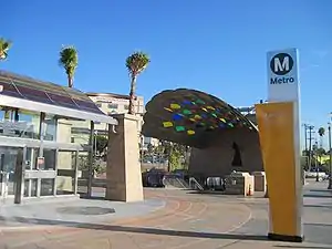 Station entrance | |||||||||||||
| Location | 1831 E 1st St, Boyle Heights, Los Angeles | ||||||||||||
| Coordinates | 34.0473°N 118.2198°W | ||||||||||||
| Owned by | Metro | ||||||||||||
| Line(s) | |||||||||||||
| Platforms | 2 (1 center platform) | ||||||||||||
| Tracks | 2 | ||||||||||||
| Construction | |||||||||||||
| Parking | none | ||||||||||||
| Bicycle facilities | 12 bike rack spaces 8 lockers | ||||||||||||
| Disabled access | Yes | ||||||||||||
| Other information | |||||||||||||
| Status | in service | ||||||||||||
| History | |||||||||||||
| Opened | November 15, 2009 | ||||||||||||
| Previous names | Mariachi Plaza/Boyle Heights | ||||||||||||
| Services | |||||||||||||
| |||||||||||||
| |||||||||||||
| Location | |||||||||||||
| |||||||||||||
Metro Rail service
L Line service hours are approximately from 5:00 AM until 12:15 AM daily.[2]
Bus connections
- Metro Local: 30, 106
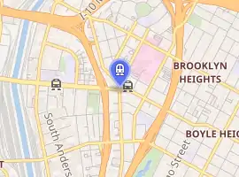
Location
The station entrance is located in Mariachi Plaza, after which the station is named. The plaza is the historic gateway to the Boyle Heights neighborhood in Eastern Los Angeles. At the intersection of East 1st Street and Boyle Avenue, the station is near Hollenbeck Park.[3] Los Angeles Railway P Line yellow streetcars operated on the surface of 1st Street[4] until 1963, including a call at Boyle.
Attractions
Station layout
Mariachi Plaza Station is one of two underground stations on the Eastside portion of the L Line (the other being Soto Station). There are two levels underground: a mezzanine with ticket machines and gates, and below that, an island platform with two tracks.
References
- "Gold Line station information".
- "Gold Line timetable" (PDF). Retrieved 2010-05-10.
- Metro Gold Line Eastside Extension destination map LACMTA Retrieved 2009-10-10
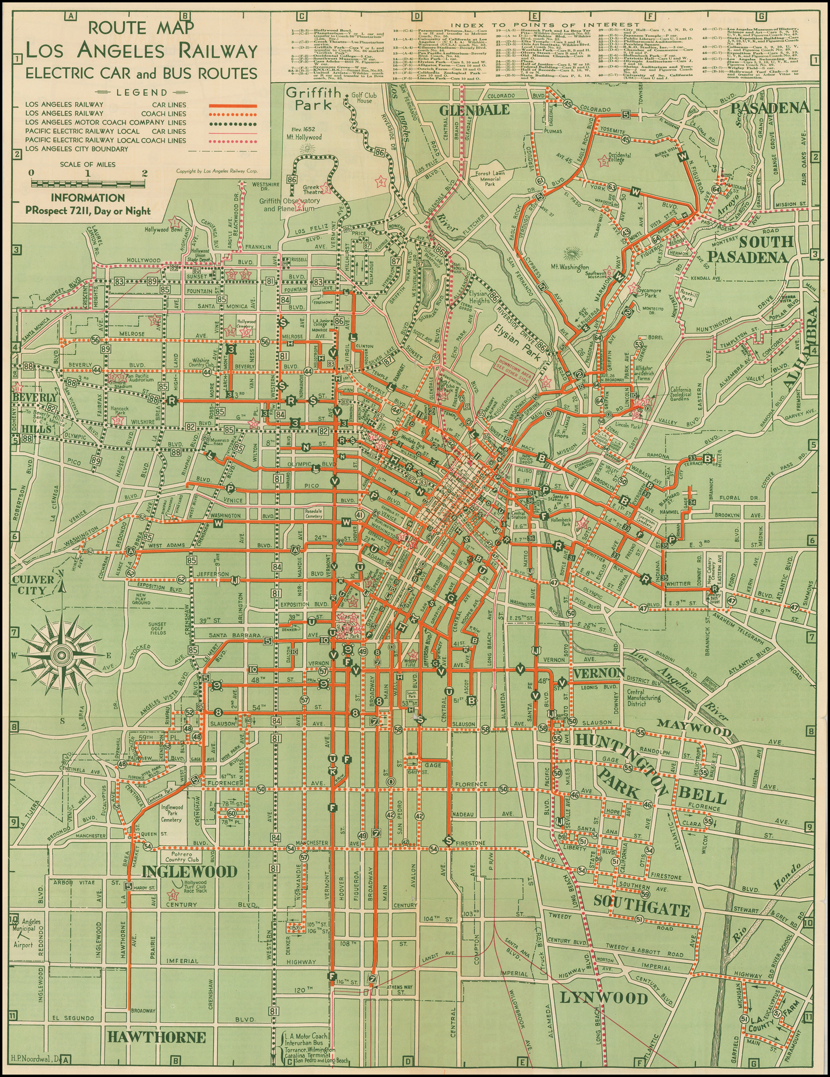
- H.P. Noordwal (1938). "Route Map Los Angeles Railway Electric Car and Bus Routes" (Map). Barry Lawrence Ruderman Antique Maps Inc. Los Angeles Railway. "Alternate link" (Map). via Google.
External links
 Media related to Mariachi Plaza (Los Angeles Metro station) at Wikimedia Commons
- Official Eastside Extension page LACMTA
- Wall Mock up before install