Maryfield, Cornwall
Maryfield is a hamlet north of Torpoint and east of Antony House in southeast Cornwall, England.[1][2]
| Maryfield | |
|---|---|
 The Church of St Philip and St James, Maryfield | |
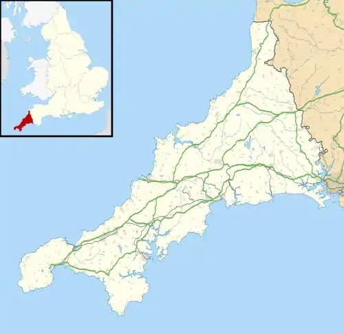 Maryfield Location within Cornwall | |
| OS grid reference | SX424561 |
| Civil parish | |
| Unitary authority | |
| Ceremonial county | |
| Region | |
| Country | England |
| Sovereign state | United Kingdom |
References
- Ordnance Survey: Landranger map sheet 201 Plymouth & Launceston (Tavistock & Looe) (Map). Ordnance Survey. ISBN 978-0-319-23287-3.
- Philip's Street Atlas Cornwall. London: Philip's, 2003; p. 126
Cornwall Portal | |
| Unitary authorities | |
| Major settlements |
|
| Rivers | |
| Topics | |
This article is issued from Wikipedia. The text is licensed under Creative Commons - Attribution - Sharealike. Additional terms may apply for the media files.