May Corner, Wisconsin
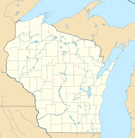
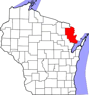
May Corner is an unincorporated community located in the town of Grover, Marinette County, Wisconsin, United States.
May Corner, Wisconsin | |
|---|---|
 May Corner, Wisconsin  May Corner, Wisconsin | |
| Coordinates: 45°02′57″N 87°51′02″W | |
| Country | |
| State | |
| County | Marinette |
| Elevation | 199 m (653 ft) |
| Time zone | UTC-6 (Central (CST)) |
| • Summer (DST) | UTC-5 (CDT) |
| Area code(s) | 715 & 534 |
| GNIS feature ID | 1569142[1] |
Geography

May Corner is located 5 miles (8.0 km) west of Peshtigo, at the intersection of Town Hall Road and Church Road,[2] at an elevation of 653 feet (199 m).[1] Bundy Creek, a tributary of the Peshtigo River, flows through the settlement.[2] May Corner is connected to a frontage road of U.S. Route 41 to the east, County Trunk Highway M to the south, and County Trunk Highway W to the west. The Grover town hall is located to the west, and Grover Community Church stands to the south.
Name
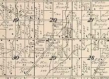
May Corner is named after the May farm, which stood on the south side of the intersection.[3] It was owned by Sam G. May (1839–1910), and later by his widow Janet "Jennie" May, née McFarlane (1853–1926).[4]
References
- U.S. Geological Survey Geographic Names Information System: May Corner, Wisconsin
- Porterfield Quadrangle Wisconsin, 15 Minute Series (Topographic). 1963. Map, 1:62,500. Washington, DC: U. S. Geological Survey.
- Standard Atlas of Marinette County Wisconsin Including a Plat Book of the Villages, Cities and Townships of the County. Chicago: Geo. A. Ogle & Co. 1912. p. 68.
- "Funeral of Mrs. May". Green Bay Press Gazette. March 16, 1926. p. 27. Retrieved August 5, 2019 – via Newspapers.com.

