Mount Mercer, Victoria
Mount Mercer is a locality in the Western District of the Australian state of Victoria. It is named after a nearby scoria cone with crater. The scoria cone was developed on a broad lava shield and the rim of the cone is asymmetric, being higher around the south and open towards the north. The scoria cone is approximately 400m in diameter and of circular shape. It is sufficiently enclosed to contain a swamp and has been partly excavated for a reservoir. It stands approximately 75m above the surrounding area.[3]
| Mount Mercer Victoria | |||||||||||||||
|---|---|---|---|---|---|---|---|---|---|---|---|---|---|---|---|
 Mount Mercer | |||||||||||||||
| Coordinates | 37°49′0″S 143°49′0″E | ||||||||||||||
| Population | 69 (2016 census)[1] | ||||||||||||||
| Postcode(s) | 3352 | ||||||||||||||
| Elevation | 380 m (1,247 ft)[2] | ||||||||||||||
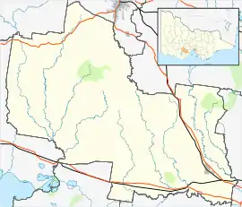
| LGA(s) | Golden Plains Shire | ||||||||||||||
| State electorate(s) | Buninyong | ||||||||||||||
| Federal Division(s) | Wannon | ||||||||||||||
| |||||||||||||||
One of Victoria's larger wind farms, the Mount Mercer Wind Farm became fully operational in September 2014.
References
- Australian Bureau of Statistics (27 June 2017). "Mount Mercer (State Suburb)". 2016 Census QuickStats. Retrieved 17 November 2017.

- http://nona.net/features/map/placedetail.1508435/Mount%20Mercer/ Retrieved on 11 April 2010
- Corangamite eruption points
This article is issued from Wikipedia. The text is licensed under Creative Commons - Attribution - Sharealike. Additional terms may apply for the media files.
