Mudugere, Gauribidanur
Mudugere also known as Mudigere is a village in the southern state of Karnataka, India.[1][2] It is located in the Gauribidanur taluk of Chikkaballapura district in Karnataka. It is situated 7 km away from sub-district headquarter Gauribidanur and 45 km away from district headquarter Chikkaballapura
Mudugere | |
|---|---|
village | |
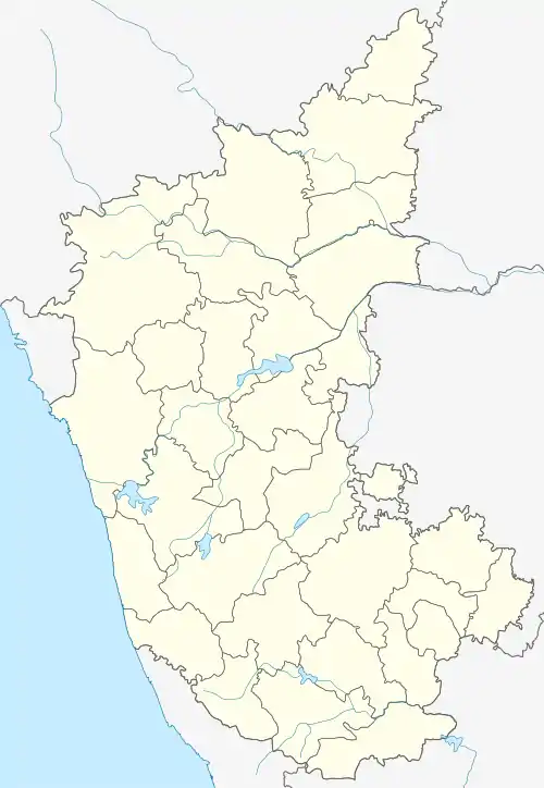 Mudugere Location in Karnataka, India  Mudugere Mudugere (India) | |
| Coordinates: 13.5819025°N 77.4259302°E | |
| Country | |
| State | Karnataka |
| District | Chikkaballapura |
| Talukas | Gauribidanur |
| Elevation | 686 m (2,251 ft) |
| Population (2011) | |
| • Total | 2,490 |
| Languages | |
| • Official | Kannada, Telugu |
| Time zone | UTC+5:30 (IST) |
| PIN | 561210 |
| Telephone code | 08155 |
| Vehicle registration | KA 40 |
| Lok Sabha constituency | Chikballapur (Lok Sabha constituency) |
Demographics
According to Census 2011 information the location code or village code of Mudugere village is 623208.[1] As per 2009 stats, Mudugere village is also a gram panchayat, it contains five villages under Mudugere Gram Panchayat.[3]
The total geographical area of village is 537.52 hectares. Mudugere has a total population of 2,490 peoples with 1,249 males and 1,241 females. There are about 633 houses in Mudugere village. Gauribidanur is nearest town to Mudugere which is approximately 7 km away.[1]
Facilities
Mudugere has below types of facilities.
- Government higher primary School – The school is owned by government of Karnataka, located in Mudugere itself.
- Mudugere Gram panchayat office (mandal office)
- Mudugere KMF (Karnataka Milk Federation) Dairy
- Government grocery store – Owned by government of Karnataka.
- Indian Oil Petrol Pump
- National Highway-206 – Connects Gauribidanur and Madhugiri.
Temples
- Sri Chennakeshava Temple
- Yasinsha Wali and Mehboobshawali Dargha
- Hanuman Temple
- Shiva Temple
- Suppalamma Temple
- Mosque
References
- Village code= 623208 Office of the Registrar General & Census Commissioner, India. "Census of India : Town and Village Level data". Retrieved 11 August 2018.
- "Mudugere in Google Map :". Retrieved 11 August 2019. Mudugere, Chikkaballapura, Karnataka
- panchamitra.kar.nic.in. "Information Regarding Panchayat". Retrieved 11 August 2019.