Myponga River
The Myponga River is a stream on the north-western side of the Fleurieu Peninsula in the Australian state of South Australia.
| Myponga | |
|---|---|
.jpg.webp) Myponga River, 1925 | |
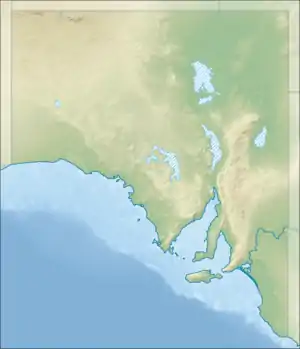 Location of the river mouth in South Australia | |
| Etymology | Myponga |
| Location | |
| Country | Australia |
| State | South Australia |
| Region | Fleurieu Peninsula |
| Physical characteristics | |
| Source | Mount Lofty Range |
| • location | Willunga Hill |
| • coordinates | 35.292°S 138.585°E |
| Mouth | Gulf St Vincent |
• location | Myponga Beach |
• coordinates | 35°22′20″S 138°23′04″E |
• elevation | 0 m (0 ft) |
| Basin size | 138.59 km2 (53.51 sq mi) |
| [1] Catchment[2] | |
References
- "MYPONGA RIVER: Occurrence records (14,893)". Atlas of Living Australia. Retrieved 17 July 2017.
- "Search results for 'Myponga River' with the following layers selected - 'Surface Water Catchments' and 'Wetland Inventories'". Nature Maps. South Australian Government. Retrieved 15 March 2018.
This article is issued from Wikipedia. The text is licensed under Creative Commons - Attribution - Sharealike. Additional terms may apply for the media files.