Rocky River (South Australia)
The Rocky River is a river located in the Mid North region of the Australian state of South Australia.
| Rocky River | |
|---|---|
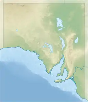 Location of the river mouth in South Australia | |
| Location | |
| Country | Australia |
| State | South Australia |
| Region | Mid North |
| Physical characteristics | |
| Source | Frypan Hill |
| • location | Wirrabara Forest |
| • elevation | 700 m (2,300 ft) |
| Mouth | confluence with the Broughton River |
• location | southwest of Crystal Brook |
• coordinates | 33°24′01″S 138°07′59″E |
| Length | 102 km (63 mi) |
| Basin size | 1,350 km2 (520 sq mi) |
| Basin features | |
| River system | Broughton River |
| Tributaries | |
| • left | Appila Creek, Pine Creek, Pisant/Yanga Creek, Narridy Creek, Yackamoorundie/Rocky Creek |
| • right | Ippinitchie |
| [1][2] | |
Course and features
The river rises near the Wirrabara Forest and, after initially flowing north, flows in a generally southern direction past the towns of Wirrabara, Stone Hut, Laura and Gladstone before reaching its confluence with the Broughton River. Tributaries include Ippinitchie, Pine, Appila, Pisant, Narridy and Yackamoorundie creeks.[2] The catchment area of Rocky River is approximately 1,350 square kilometres (520 sq mi).[2] The river descends 612 metres (2,008 ft) over its 102 kilometres (63 mi) course.[1]
References
- "Map of Rocky River, SA". Bonzle Digital Atlas of Australia. Retrieved 25 March 2017.
- "Rocky River Catchment Water Resources Assessment" (PDF). WaterConnect. Government of South Australia. Retrieved 19 December 2015.
This article is issued from Wikipedia. The text is licensed under Creative Commons - Attribution - Sharealike. Additional terms may apply for the media files.