Natifah
Natifah is a village in Jordan approximately 2 km south-west of Irbid.[1]
Natifah
ناطفة (إربد) | |
|---|---|
Town | |
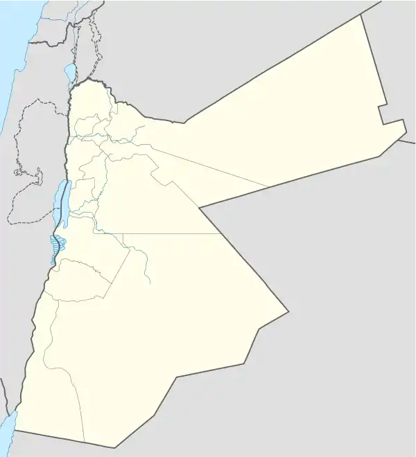 Natifah Location in Jordan | |
| Coordinates: 32°31′09″N 35°49′19″E | |
| Grid position | 227/213 |
| Country | |
| Governorate | Irbid Governorate |
| Time zone | UTC + 2 |
History
In 1596 it appeared in the Ottoman tax registers named as Natifa, situated in the nahiya (subdistrict) of Bani al-Asar, part of the Sanjak of Hawran. It had 17 households and 9 bachelors; all Muslim. The villagers paid a fixed tax-rate of 25% on agricultural products; including wheat, barley, summer crops, vineyards/fruit trees, goats and bee-hives. The total tax was 5,500 akçe.[2]
In 1838 Natifah's inhabitants were predominantly Sunni Muslims.[3]
The Jordanian census of 1961 found 451 inhabitants in Natifa.[4]
References
- Satellite Views.net, Natifah
- Hütteroth and Abdulfattah, 1977, p. 206
- Smith, in Robinson and Smith, 1841, vol 3, 2nd appendix, p. 164
- Government of Jordan, Department of Statistics, 1964, p. 19
Bibliography
- Government of Jordan, Department of Statistics (1964). First Census of Population and Housing. Volume I: Final Tables; General Characteristics of the Population (PDF).
- Hütteroth, Wolf-Dieter; Abdulfattah, Kamal (1977). Historical Geography of Palestine, Transjordan and Southern Syria in the Late 16th Century. Erlanger Geographische Arbeiten, Sonderband 5. Erlangen, Germany: Vorstand der Fränkischen Geographischen Gesellschaft. ISBN 3-920405-41-2.
- Robinson, E.; Smith, E. (1841). Biblical Researches in Palestine, Mount Sinai and Arabia Petraea: A Journal of Travels in the year 1838. 3. Boston: Crocker & Brewster.
| Capital | |
|---|---|
| Departments |
|
| Cities and towns | |
| Others | |
This article is issued from Wikipedia. The text is licensed under Creative Commons - Attribution - Sharealike. Additional terms may apply for the media files.
