Newtown, Staffordshire
Newtown is a small village in South Staffordshire, England.[1] For population details as taken in the 2011 census see Essington.
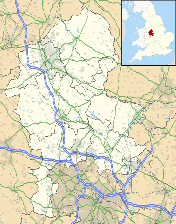
Newtown lies in between Great Wyrley (to the north) and Bloxwich (to the south), or more precisely, Landywood (to the north) and Bloxwich (to the south), forming part of the Staffordshire/West Midlands border. It lies on Walsall Road, the main route between Walsall and Cannock, which forms part of the A34.
References
| Wikimedia Commons has media related to Newtown, Staffordshire. |
- Signs upon entering Newtown read "District of South Staffordshire"
This article is issued from Wikipedia. The text is licensed under Creative Commons - Attribution - Sharealike. Additional terms may apply for the media files.