Nueva Ocotepeque Airport
Nueva Ocotepeque Airport (ICAO: MHNV) is an airport serving the town of Nueva Ocotepeque in Ocotepeque Department, Honduras. Nueva Ocotepeque is in a north-south valley 5 kilometres (3.1 mi) north of the El Salvador border, and 13 kilometres (8.1 mi) east of the Guatemala border.
Nueva Ocotepeque Airport | |||||||||||
|---|---|---|---|---|---|---|---|---|---|---|---|
| Summary | |||||||||||
| Airport type | Public | ||||||||||
| Serves | Nueva Ocotepeque | ||||||||||
| Elevation AMSL | 2,789 ft / 850 m | ||||||||||
| Coordinates | 14°25′50″N 89°11′40″W | ||||||||||
| Map | |||||||||||
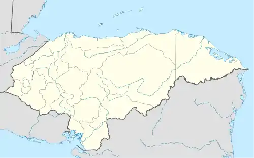
 MHNV Location of the airport in Honduras | |||||||||||
| Runways | |||||||||||
| |||||||||||
The runway is on the west end of the town. The north 140 metres (460 ft) of the runway have trees encroaching on the east side. There is high terrain east through southeast of the airport, and rising terrain in other quadrants.
The Ilopango VOR-DME (Ident: YSV) is located 44.6 nautical miles (82.6 km) south of the airport.[4]
See also
 Aviation portal
- Transport in Honduras
- List of airports in Honduras
References
- Airport information for Nuevo Ocotepeque Airport at Great Circle Mapper.
- Google Maps - Nueva Ocotepeque
- "Nueva Ocotepeque Airport". SkyVector. Retrieved 12 October 2018.
- "Ilopango VOR". Our Airports. Retrieved 12 October 2018.
External links
- Nueva Ocotepeque
- HERE Maps - Nueva Ocotepeque
- OpenStreetMaps - Nueva Ocotepeque
- OurAirports - Nueva Ocotepeque
- Skyvector Aeronautical Charts - Nueva Ocotepeque
- Accident history for MHNV at Aviation Safety Network
This article is issued from Wikipedia. The text is licensed under Creative Commons - Attribution - Sharealike. Additional terms may apply for the media files.
