O'Connell River
The O'Connell River is a river in North Queensland, Australia.
| O'Connell | |
|---|---|
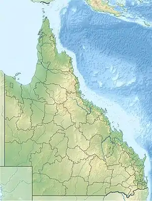
 Location of O'Connell river mouth in Queensland | |
| Location | |
| Country | Australia |
| State | Queensland |
| Region | North Queensland |
| Physical characteristics | |
| Mouth | |
• coordinates | 20°33′50″S 148°29′53″E |
| [1] | |
The headwaters of the river rise in a valley under Mount Millar in the Clarke Range, part of the Great Dividing Range, just north of the Eungella National Park. It flows in a northerly direction parallel with the Bruce Highway passing Kamo and Caping then discharging into the Repulse Fish Habitat area near Covering Beach and onto the Coral Sea.
The river has a catchment area of 2,388 square kilometres (922 sq mi) of which an area of 128 square kilometres (49 sq mi) is composed of estuarine wetlands.[2]
References
- "Map of O'Connell River". Bonzle Digital Atlas of Australia. Retrieved 31 July 2015.
- "O'Connell River drainage basin". WetlandInfo. Queensland Government. Retrieved 31 July 2015.
This article is issued from Wikipedia. The text is licensed under Creative Commons - Attribution - Sharealike. Additional terms may apply for the media files.