Oyrareingir
Oyrareingir is a village on the Faroese island Streymoy in Tórshavn Municipality.
Oyrareingir | |
|---|---|
Village | |
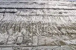
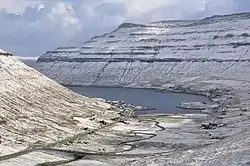 The villages Signabøur (right) and Kollafjørður (centre) on the shores of the Kollafjørður-fjord. The separate houses in the left and right foreground that do not lie within these villages form the tiny hamlet of Oyrareingir. The meandering river is the Dalá river. | |
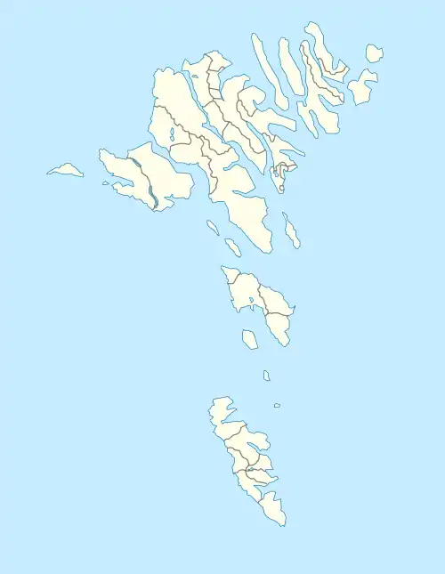 Oyrareingir Location in the Faroe Islands | |
| Coordinates: 62°6′19″N 6°57′41″W | |
| State | |
| Constituent country | |
| Island | Streymoy |
| Municipality | Tórshavn Municipality |
| Population (1 January 2006) | |
| • Total | 45 |
| Time zone | GMT |
| • Summer (DST) | UTC+1 (EST) |
| Postal code | FO 415 |
| Climate | ET |
It is situated at the very head of the Kollafjørður-fjord, on either side of the mouth of the Dalá river. The 2020 population was 45. Its postal code is FO 415. This hamlet is so tiny and its few houses so dispersed among the 'outskirts' of the neighbouring villages of Signabøur and Kollafjørður that few maps mention it. Even the Faroe Islands' best online atlas doesn't.[1] The Faroe Islands' main road (No. 10) from Tórshavn to Klaksvík passes right through Oyrareingir. The only other road -a small one leading to some farms- is called á Oyrareingjum.
In 2020 the population had 20 Males and 25 Females. The age group of the village was 12 people within the age range of 0-17, 25 people were in the age group of 18 - 64 and 7 people were over the age of 7.
Bellow is a chart showing the population over time:
See also
References
- "Kortal.fo - Finst tað í Føroyum, so finst tað á Kortalinum". kortal.fo. Retrieved 2014-08-23.
