Penasse, Minnesota
Penasse is an unincorporated community in Angle Township, Lake of the Woods County, Minnesota, United States. Penasse is located on Penasse Island in Lake of the Woods, in the northern part of Northwest Angle. Its location makes it the northernmost populated place in the contiguous United States.[2] The community was named for Tom Penasse, an American Indian from the area; it had a post office from 1920 to 1969.[3] The explorer La Vérendrye built Fort Saint Charles nearby in 1732.
Penasse, Minnesota | |
|---|---|
 Penasse  Penasse | |
| Coordinates: 49°22′04″N 94°57′32″W | |
| Country | United States |
| State | Minnesota |
| County | Lake of the Woods |
| Township | Angle |
| Elevation | 1,073 ft (327 m) |
| Time zone | UTC-6 (Central (CST)) |
| • Summer (DST) | UTC-5 (CDT) |
| Area code(s) | 218 |
| GNIS feature ID | 649255[1] |
References
- "Penasse". Geographic Names Information System. United States Geological Survey.
- Lake of the Woods Co. General Highway Map (PDF) (Map). 2011. p. 3. Archived from the original (PDF) on 2012-09-04. Retrieved March 9, 2012.
- "Penasse Island". Minnesota Historical Society. Archived from the original on March 1, 2014. Retrieved March 9, 2012.
Municipalities and communities of Lake of the Woods County, Minnesota, United States | ||
|---|---|---|
| Cities | 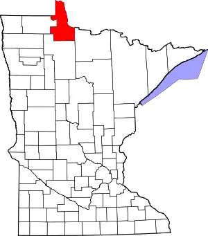 Map of Minnesota highlighting Lake of the Woods County | |
| Townships | ||
| CDP | ||
| Unincorporated communities | ||
| Indian reservations | ||
| Ghost towns | ||
| Footnotes | ‡This populated place also has portions in an adjacent county or counties | |
| ||
This article is issued from Wikipedia. The text is licensed under Creative Commons - Attribution - Sharealike. Additional terms may apply for the media files.