Phu Soi Dao National Park
Phu Soi Dao National Park (Thai: อุทยานแห่งชาติภูสอยดาว), named after 2,120 m high Phu Soi Dao mountain,[1] is a protected area at the southern end of the Luang Prabang Range in the Thai/Lao border area, on the Thai side of the range. It is located in Nam Pat District of Uttaradit Province and Chat Trakan District of Phitsanulok Province.[2] The park was established as Thailand's 109th national park in 2008.[3]
| Phu Soi Dao National Park | |
|---|---|
IUCN category II (national park) | |
 Phu Soi Dao National park | |
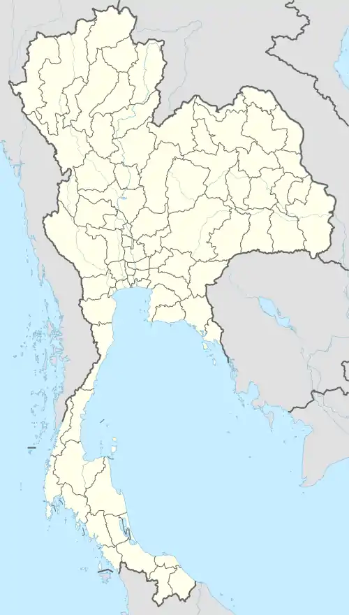 Location within Thailand | |
| Location | Thailand |
| Nearest city | Uttaradit |
| Coordinates | 17°44′N 101°0′E |
| Area | 340.21 km2 (131.36 sq mi) |
| Established | 2008 |
| Governing body | Department of National Parks, Wildlife and Plant Conservation |
| Phitsanulok Wildlife |
|---|
| Endangered |
| Vulnerable |
|
Asiatic black bear |
| Near threatened |
| National Parks |
|
Kaeng Chet Khwae |
Attractions
Namtok Phu Soi Dao a 5-tiered waterfall and namtok Sai Thip a 7-tiered waterfall are some of the attractions of the park.[3] The landscape is similar to the area on the Phu Kradueng plateau further southeast, with grasslands and pine trees such as Pinus kesiya. Betula alnoides, Schima wallichii and Shorea siamensis are among the other species of trees present in the forest. Utricularia spinomarginata and Utricularia phusoidaoensis are endemic plants on Phu Soi Dao.[4]
The most highlighted thing here are dok ngon nak (ดอกหงอนนาค–Murdannia gigantea) which will bloom all over the fields during rainy season (๋July–August), causing a beautiful purple scenery.[5]
Topography
The park is bordered by Laos PDR for a length of about 60 km (37 mi) and is up to 10 km (6.2 mi) wide at its widest point. Landscape is mostly covered by mountains and forests (85%) and some small plains (15%), the height ranges from 500 metres (1,600 ft) to 2,100 metres (6,900 ft). Several rivers have their source within the park, including Pat and Kwae Noi rivers. [6]
Climate
The park is generally cool all year round. Average high temperature is 35.0 °C (95.0 °F), average lowest temparature is 13.0 °C (55.4 °F), average mean temperature is 27.0 °C (80.6 °F). Rainy season is from May to October, average rainfall is 1,334 millimetres (52.5 in)/year. Winter is from November to February and summer is from April to June.[6]
History
A survey was set up in November 1990, with an area of only 32 km2 (12 sq mi). In 1992 the area was extended to 78.3 km2 (30.2 sq mi). In 1993 Phu Soi Dao National Park was proposed, with the inclusion of Phu Soi Dao waterfall. In 2008 Phu Soi Dao National Park, including Nam Pat forest and Phu Soi Dao forest, with an area of 340.2 km2 (131.4 sq mi) was declared the 109th national park.[6][7]
Flora
The park is home to numerous forest types, such as evergreen, deciduous and dipterocarp forest.
Evergreen forest include:[3]
Deciduous forest include:[6]
Dipterocarp forest include:[6]
Plant species include:[6]
See also
References
- TH010 Mae Jarim
- ภูสอยดาว อุทยานแห่งชาติภูสอยดาว
- "National Parks in Thailand: Phu Soi Dao National Park" (PDF). Department of National Parks (Thailand). 2015. pp. 88–89. Retrieved 19 June 2017.
- Carnivorous Plants in the tropics - Phu Soi Dao National Park
- Buttri, Pin (2017-08-11). ""ภูสอยดาว"ลานสนสวยสูงเสียดฟ้า ตระการตา"ทุ่งดอกหงอนนาค"ใหญ่ที่สุดในเมืองไทย" ["Phu Soi Dao", a beautiful high-pitched pine courtyard, spectacular "Ngon nak flower field" is the largest in Thailand]. ASTV Manager (in Thai). Retrieved 2019-06-04.
- "Phu Soi Dao National Park". Department of National Parks, Wildlife and Plant Conservation. 2020. Retrieved 30 December 2020.
- "พระราชกฤษฎีกา กำหนดบริเวณที่ดินป่าน้ำปาด และป่าภูสอยดาว ในท้องที่ตำบลม่วเจ็ดต้น ตำบลบ้านโคก ตำบลนาขุม อำเภอบ้านโคก ตำบลนาขุม อำเภอบ้านโคก ตำบลห้วยมุ่น อำเภอน้ำปาด จังหวัดอุตรดิตถ์ และตำบลบ่อภาค อำเภอชาติตระการ จังหวัดพิษณุโลก ใหเป็นอุทยานแห่งชาติ พ.ศ. ๒๕๕๑" [Royal Decree: Set the area of Nam Pat forest and Phu Soi Dao forest in the area of Muang Chet Ton subdistrict, Ban Khok subdistrict, Na Khum subdistrict, Ban Khok district, Huai Mun subdistrict, Nam Pat district, Uttaradit province and Bo Phak subdistrict, Chat Trakan district, Phitsanulok province to be a national park. B.E. 2551 (2008)] (PDF). Royal Thai Government Gazette. 125 (71 Kor): 1–3. 28 May 2008. Retrieved 30 December 2020.
External links
| Wikimedia Commons has media related to Phu Soi Dao National Park. |