Pic a Tenerife
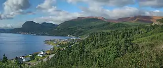
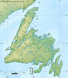
Pic a Tenerife (/tɛnəˈriːf/; Spanish: [teneˈɾife]) is a mountain located in western Newfoundland, near the coastal community of Glenburnie in Gros Morne National Park. It is 545 m (1,788 ft) high and was named by Captain James Cook in 1767. It takes its name from the island of Tenerife in Spain.[1]
| Pic a Tenerife | |
|---|---|
 | |
| Highest point | |
| Elevation | 545 m (1,788 ft) |
| Prominence | 545 m (1,788 ft) |
| Coordinates | 49°26′10″N 57°55′23″W |
| Geography | |
 Pic a Tenerife | |
| Parent range | Long Range Mountains |
| Topo map | NTS 012/H05 |
| Climbing | |
| Easiest route | class 2 scramble |
See also
References
This article is issued from Wikipedia. The text is licensed under Creative Commons - Attribution - Sharealike. Additional terms may apply for the media files.
