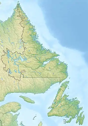
Annieopsquotch Mountains
The Annieopsquotch Mountains (/ˌæniˈɒpskwɒtʃ/ AN-ee-OP-skwotch)[2] are located in the southwestern interior of the Canadian island of Newfoundland, east of Bay St. George. Rising to a peak of 687 m (2,254 ft) above sea level, this range of hills runs in a north-eastward direction between Victoria Lake and Red Indian Lake. Its name is Mi'kmaq and literally translated means 'terrible rocks'.
| Annieopsquotch Mountains | |
|---|---|
.jpg.webp) Annieopsquotch Mountains near Burgeo, NL | |
| Highest point | |
| Elevation | 687 m (2,254 ft) |
| Naming | |
| Etymology | Mi'kmaq for terrible rocks |
| Geography | |
 | |
| Country | Canada |
| Province | Newfoundland and Labrador |
| Range coordinates | 48°21′N 57°30′W [1] |
| Parent range | Appalachian Mountains |
Geologically the range is composed of Ordovician ocean floor rock which includes an ophiolite thrust onto the continent during the closure of the Iapetus Ocean. Silurian clastic sedimentary rocks unconformably overly the ophiolite and granite intruded the area during the Devonian. Faulting and tilting of the area continued through the Carboniferous.[3]
References
- "Annieopsquotch Mountains, Newfoundland and Labrador (coordinates), Canada Geographic Names Database". Archived from the original on 2014-05-20. Retrieved 2014-05-20.
- The Canadian Press (2017), The Canadian Press Stylebook (18th ed.), Toronto: The Canadian Press
- Dunning, G. R., The Annieopsquotch Complex Southwest Newfoundland, an Early Ordovician Ophiolite and Its Unconformable Silurian Cover, in: Roy, David C., Northeastern Section of the Geological Society of America (Centennial Field Guide), Geological Society of America, 1987 pp 441-445 ISBN 978-0813754055
This article is issued from Wikipedia. The text is licensed under Creative Commons - Attribution - Sharealike. Additional terms may apply for the media files.