Pipiroa
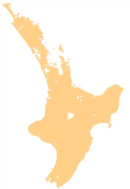
Pipiroa is a rural community in the Hauraki District and Waikato region of New Zealand's North Island. The population of Pipiroa and its surrounds was 87 in the 2013 New Zealand census.[1]
Pipiroa | |
|---|---|
 Pipiroa | |
| Coordinates: 37.216°S 175.486°E | |
| Country | New Zealand |
| Region | Waikato region |
| District | Hauraki District |
| Population (2013) | |
| • Total | 87 |
The New Zealand Ministry for Culture and Heritage gives a translation of "long pipi" for Pipiroa.[2]
Education
Kopuarahi School is a co-educational state primary school,[3] with a roll of 21 as of March 2020.[4][5]
References
- "2013 Census map - Quickstats about a place - Meshblock 1066800". Statistics New Zealand. 2013.
- "1000 Māori place names". New Zealand Ministry for Culture and Heritage. 6 August 2019.
- "Ministry of Education School Profile". educationcounts.govt.nz. Ministry of Education.
- "New Zealand Schools Directory". New Zealand Ministry of Education. Retrieved 26 April 2020.
- "Education Review Office Report". ero.govt.nz. Education Review Office.
This article is issued from Wikipedia. The text is licensed under Creative Commons - Attribution - Sharealike. Additional terms may apply for the media files.
