Prince Edward Island Route 5
Prince Edward Island Route 5 is a highway in eastern Prince Edward Island.
| ||||
|---|---|---|---|---|
| 48 Road | ||||
 | ||||
| Route information | ||||
| Maintained by Prince Edward Island Transportation and Public Works | ||||
| Length | 27.8 km[1] (17.3 mi) | |||
| Major junctions | ||||
| West end | ||||
| East end | ||||
| Location | ||||
| Counties | Kings, Queens | |||
| Highway system | ||||
Provincial highways in Prince Edward Island
| ||||

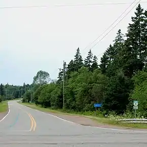
Route 5 begins at the Trans Canada Highway, Prince Edward Island Highway 1 bearing east. It passes the junctions with Robertson Road and Klondike Road, arriving at Monaghan Road or Route 213 at km 7.5 (mi 4.7). Routes 5 and 213 form a concurrency for 0.3 kilometers (0.2 mi) in a southward direction. Junction Route 216, Avondale Road is at km 12.0 (mi 7.5). Route 5 passes the junction with Gauls Road, Fariville Road, till the junction with Route 213, Brothers Road at km 16.4 (mi 10.2), within Kings County. At km 18.5 (mi 11.5), Route 5 meets with the intersection of Route 323, Curran Road. At km 18.5 (mi 11.5), Route 5 makes the intersection with Route 22. Route 5 continues west meeting Old Mt. Stewart Road and Route 356 at a 5 corners intersection. Route 5 continues in a south east direction passing Johnston Road, and Straghbohgle Road before ending at km 27.8 (mi 17.3), Route 4.[1]
References
- Microsoft Streets and Tips (Map) (2004 ed.). Microsoft Corp. § Route Planner.