Puttur, Karnataka
Puttur (Pronounciationː![]() listen ) is a city in Dakshina Kannada district, in Karnataka state of India. It is the headquarters of the Puttur taluk. It is the second largest and the fastest growing city in Dakshina Kannada district of Karnataka . The Puttur Shree Mahalingeshwara Temple is located here.
listen ) is a city in Dakshina Kannada district, in Karnataka state of India. It is the headquarters of the Puttur taluk. It is the second largest and the fastest growing city in Dakshina Kannada district of Karnataka . The Puttur Shree Mahalingeshwara Temple is located here.
Puttur | |
|---|---|
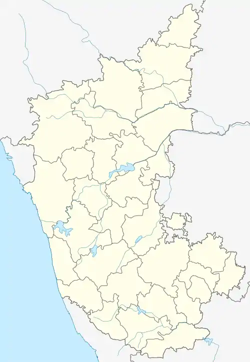 Puttur Location in India  Puttur Puttur (India) | |
| Coordinates: 12.7648°N 75.1842°E | |
| Country | |
| State | Karnataka |
| Region | Tulu Nadu |
| District | Dakshina Kannada |
| Government | |
| • Body | Municipal council |
| • MLA | Sanjeeva Matandoor (BJP) |
| Elevation | 87 m (285 ft) |
| Population (2011)[1] | |
| • Total | 48,063 |
| Time zone | UTC+5:30 (IST) |
| PIN | 574201 |
| Telephone code | 8251 |
| ISO 3166 code | IN-KA |
| Vehicle registration | KA-21 |
| Website | Official website |
Geography
Puttur is located at 12.7648°N 75.1842°E.[2] It has an average elevation of 87 m (300 ft). Puttur is situated 52 km (32 mi) south-east of Mangalore city.
Demographics
As of 2011 India census,[3] Puttur had a population of 48,063. Males constitute 50% of the population and females 50%. Hinduism is the major religion constitute 65%, Muslims are about 22%, Christianity constitute 6% and other religions constitute 7%. The average literacy rate is 79%, which is higher than the national average of 59.5%: male literacy is 83%, and female literacy is 75%. About 11% of the population is under 6 years of age.
Connectivity
Bus
Puttur has good bus connectivity with large KSRTC Busstand at center part of the city. The bus services are being provided to most of the villages of Puttur, Bantwal, Sullia and Belthangady Taluks and buses are running to Mangaluru, Panaji, Udupi, Karwar, Kasaragod, Kannur, Ernakulam, Thiruvananthapuram, Subrahmanya, Dharmasthala, Madurai, Coimbatore, Ooty, Bengaluru, Mysuru, Hubballi etc.
Air
The nearest airport to Puttur is Mangalore International Airport (IATA: IXE, ICAO: VOML) which is at a distance of around 57.7 km along the fastest route. Flights are available from here to all the major Indian metropolis and Middle East.
Railway
Puttur has a railway line passing through the city. The railway station is called Kabaka Puttur Railway Station (Station Code:KBPR) which is within the city limits. It is a single track diesel line on the Mangalore-Hassan railway line of South Western Railway.
Climate
| Climate data for Puttur, India | |||||||||||||
|---|---|---|---|---|---|---|---|---|---|---|---|---|---|
| Month | Jan | Feb | Mar | Apr | May | Jun | Jul | Aug | Sep | Oct | Nov | Dec | Year |
| Average high °C (°F) | 31.3 (88.3) |
31.8 (89.2) |
32.7 (90.9) |
33.1 (91.6) |
32.4 (90.3) |
29.3 (84.7) |
28.0 (82.4) |
28.2 (82.8) |
28.8 (83.8) |
29.9 (85.8) |
30.8 (87.4) |
31.2 (88.2) |
30.6 (87.1) |
| Daily mean °C (°F) | 26 (79) |
26.9 (80.4) |
28.1 (82.6) |
29.1 (84.4) |
28.8 (83.8) |
26.4 (79.5) |
25.5 (77.9) |
25.6 (78.1) |
25.9 (78.6) |
26.5 (79.7) |
26.6 (79.9) |
26.1 (79.0) |
26 (79) |
| Average low °C (°F) | 20.8 (69.4) |
22.0 (71.6) |
23.6 (74.5) |
25.2 (77.4) |
25.2 (77.4) |
23.5 (74.3) |
23.0 (73.4) |
23.1 (73.6) |
23.0 (73.4) |
23.2 (73.8) |
22.4 (72.3) |
21.0 (69.8) |
21 (70) |
| Average rainfall mm (inches) | 0 (0) |
1 (0.0) |
6 (0.2) |
63 (2.5) |
208 (8.2) |
938 (36.9) |
1,489 (58.6) |
858 (33.8) |
386 (15.2) |
277 (10.9) |
81 (3.2) |
22 (0.9) |
4,329 (170.4) |
| Source: Climate-Data.org - Climate Table of Puttur, Karnataka, India[4] | |||||||||||||
References
- "Census of India Search details". censusindia.gov.in. Retrieved 10 May 2015.
- "Maps, Weather, and Airports for Puttur, India". www.fallingrain.com.
- "Census of India 2001: Data from the 2001 Census, including cities, villages and towns (Provisional)". Census Commission of India. Archived from the original on 16 June 2004. Retrieved 1 November 2008.
- "Climate Table of Puttur, Karnataka, India". Climate-Data.org. Retrieved 31 January 2015.
External links
| Wikimedia Commons has media related to Puttur, Karnataka. |
