Qantara, Lebanon
Qantara (قنطرة ) is a village in the Marjeyoun District in southern Lebanon.
Qantara
قنطرة | |
|---|---|
Village | |
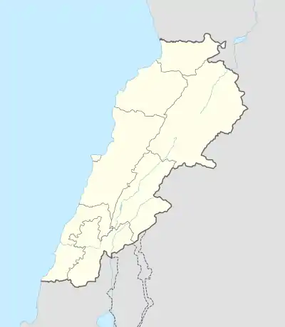 Qantara Location within Lebanon | |
| Coordinates: 33°16′25″N 35°27′49″E | |
| Grid position | 193/297 PAL |
| Country | |
| Governorate | Nabatieh Governorate |
| District | Marjeyoun District |
| Elevation | 470 m (1,540 ft) |
| Time zone | UTC+2 (EET) |
| • Summer (DST) | UTC+3 (EEST) |
| Dialing code | +961 |
Name
According to E. H. Palmer, the name El Kantarah means "the arch",[1] qantara (Arabic: قنطرة) also being used in Arabic to denote a bridge built of stone or masonry, an aqueduct or a dam, and a high building.[2]
History
In 1875 Victor Guérin found that the village had 150 Metawileh inhabitants.[3] He further remarked: "The mosque is built of hewn stones of apparent antiquity. Its door is surmounted by a lintel belonging to an ancient Christian church, in the midst of which can be made out a cross with equal branches enclosed in a circle."[4]
In 1881, the PEF's Survey of Western Palestine (SWP) described it: "A village, built of stone, containing about 250 [..] Metawileh, situated on an isolated and conspicuous hill, and surrounded by gardens, olives, and figs. There are two perennial springs a little to the south of the village."[5]
References
- Palmer, 1881, p. 23
- van Donzel, Emeri Johannes (1994). Islamic Desk Reference. BRILL. p. 24. ISBN 9789004097384. Retrieved 10 July 2020.
- Guérin, 1880, p. 272
- Guérin, 1880, p. 272; as given in Conder and Kitchener, 1881, SWP I, p. 116
- Conder and Kitchener, 1881, SWP I, p. 87
Bibliography
- Conder, C.R.; Kitchener, H.H. (1881). The Survey of Western Palestine: Memoirs of the Topography, Orography, Hydrography, and Archaeology. 1. London: Committee of the Palestine Exploration Fund.
- Guérin, V. (1880). Description Géographique Historique et Archéologique de la Palestine (in French). 3: Galilee, pt. 2. Paris: L'Imprimerie Nationale.
- Palmer, E.H. (1881). The Survey of Western Palestine: Arabic and English Name Lists Collected During the Survey by Lieutenants Conder and Kitchener, R. E. Transliterated and Explained by E.H. Palmer. Committee of the Palestine Exploration Fund.
External links
- Qantara (Marjaayoun), Localiban
- Survey of Western Palestine, Map 2: IAA, Wikimedia commons
| Capital | 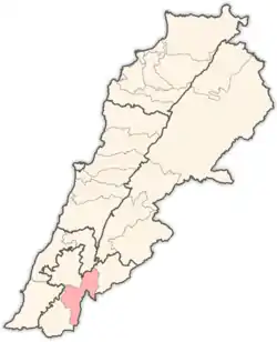 | |
|---|---|---|
| Towns and villages | ||
| Other | ||
