Ramal de Montemor
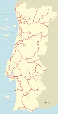
Ramal de Montemor is a closed railway line which connected the stations of Torre da Gadanha and Montemor-o-Novo, in Portugal. It was opened on 2 September 1909, and closed in 1989.[1][2]
| Ramal de Montemor | |
|---|---|
 Almansor Bridge. | |
| Overview | |
| Status | Closed |
| Termini | Torre da Gadanha Montemor-o-Novo |
| Technical | |
| Line length | 12.8 km (8.0 mi) |
| Track gauge | 1,668 mm (5 ft 5 21⁄32 in) Iberian gauge |
| Location on the network |
 + T. Gadanha × Mm.-o-N. (🔎) |
Montemor branch | ||||||||||||||||||||||||||||||||||||||||||||||||||||||||||||||||||||||||||||||||||||||||||
|---|---|---|---|---|---|---|---|---|---|---|---|---|---|---|---|---|---|---|---|---|---|---|---|---|---|---|---|---|---|---|---|---|---|---|---|---|---|---|---|---|---|---|---|---|---|---|---|---|---|---|---|---|---|---|---|---|---|---|---|---|---|---|---|---|---|---|---|---|---|---|---|---|---|---|---|---|---|---|---|---|---|---|---|---|---|---|---|---|---|---|
| ||||||||||||||||||||||||||||||||||||||||||||||||||||||||||||||||||||||||||||||||||||||||||
See also
References
- Torres, Carlos Manitto (1 February 1958). "A evolução das linhas portuguesas e o seu significado ferroviário" (PDF). Gazeta dos Caminhos de Ferro. Retrieved 22 December 2018.
- Machado, João Reis (2005). "Estudo Ambiental e Caracterização das Vias Verdes da Região do Alentejo: Relatório Final - Volume III" (in Portuguese) (Comissão de Coordenação e Desenvolvimento Regional do Alentejo): 18. Cite journal requires
|journal=(help)
This article is issued from Wikipedia. The text is licensed under Creative Commons - Attribution - Sharealike. Additional terms may apply for the media files.