Rhuallt
Rhuallt is a village in Denbighshire, Wales. The village is situated approximately 5 mi (8.0 km) south of Prestatyn and 2 mi (3.2 km) east of St Asaph on the B5429 road, adjacent to the A55, and has a caravan site.[1] There are two public houses, the Smithy Arms and the White House,[2][3] and the post office was described in the BBC Domesday Project of 1986.[4] It is mostly in the community of Tremeirchion, with some outlying parts in Cwm, Denbighshire.
| Rhuallt | |
|---|---|
.jpg.webp) The Smithy Arms public house, Rhuallt, in 2000 | |
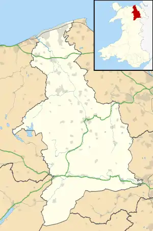 Rhuallt Location within Denbighshire | |
| OS grid reference | SJ073750 |
| Community | |
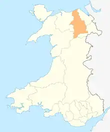
| Principal area | |
| Country | Wales |
| Sovereign state | United Kingdom |
| Post town | ST. ASAPH |
| Postcode district | LL17 |
| Dialling code | 01745 |
| Police | North Wales |
| Fire | North Wales |
| Ambulance | Welsh |
| UK Parliament | |
| Senedd Cymru – Welsh Parliament | |
References
| Wikimedia Commons has media related to Rhuallt. |
- "4 Star Touring Park". Rhuallt Country Park. Retrieved 23 January 2016.
- "Smithy Arms". WhatPub. Retrieved 23 January 2016.
- Richards-Williams, Julie (12 December 2015). "North Wales restaurant review: White House, Rhuallt". Daily Post. Retrieved 23 January 2016.
- "D-block GB-304000-375000". BBC Domesday Reloaded. Retrieved 23 January 2016.
This article is issued from Wikipedia. The text is licensed under Creative Commons - Attribution - Sharealike. Additional terms may apply for the media files.