Sage, Wyoming
Sage is a ghost town in the far southwestern part of Lincoln County, Wyoming, United States.[1][2] US Route 30 is the major road, which leads north 19 miles (31 km) to Cokeville and east 25 miles (40 km) to Kemmerer. Wyoming Highway 89 runs west 4 miles (6.4 km) to the Utah border, then another 5 miles (8.0 km) to Sage Creek Junction, Utah. The Union Pacific Railroad passes Sage in the direction of Rock Springs to the east and Pocatello, Idaho, to the west.[3]
Sage, Wyoming | |
|---|---|
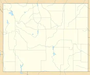 Sage, Wyoming Location of Sage in Wyoming  Sage, Wyoming Sage, Wyoming (the United States) | |
| Coordinates: 41.8135549°N 110.9582432°W | |
| Country | United States |
| State | Wyoming |
| County | Lincoln |
| Elevation | 6,332 ft (1,930 m) |
Sage lies at 6,332 feet (1,930 m) elevation,[1] just west over the Sublette Mountains ridge from Fossil Butte National Monument[3] in the Sage Creek valley.
The Overland Stage Route ran north through Sage from Fort Bridger.[3]
References
- U.S. Geological Survey Geographic Names Information System: Sage, Wyoming
- "Entering Wyoming - Sage, Wyoming".
- Official State Highway Map of Wyoming (Map). Wyoming Department of Transportation. 2014.
Municipalities and communities of Lincoln County, Wyoming, United States | ||
|---|---|---|
| City | 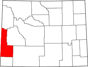 | |
| Towns | ||
| CDPs | ||
| Unincorporated communities | ||
| Footnotes | ‡This populated place also extends into Idaho | |
| ||
This article is issued from Wikipedia. The text is licensed under Creative Commons - Attribution - Sharealike. Additional terms may apply for the media files.