Saint-Wenceslas, Quebec
Saint-Wenceslas, Quebec is a municipality in Nicolet-Yamaska Regional County Municipality, Quebec, Canada. The town is situated at a bend in the Bécancour River. The northern branch of Autoroute 55 terminated at the 9e rang of Saint-Wenceslas until its completion in October 2006. Route 161 also goes through the town.
Saint-Wenceslas | |
|---|---|
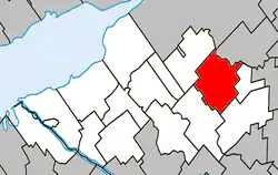 Location within Nicolet-Yamaska RCM. | |
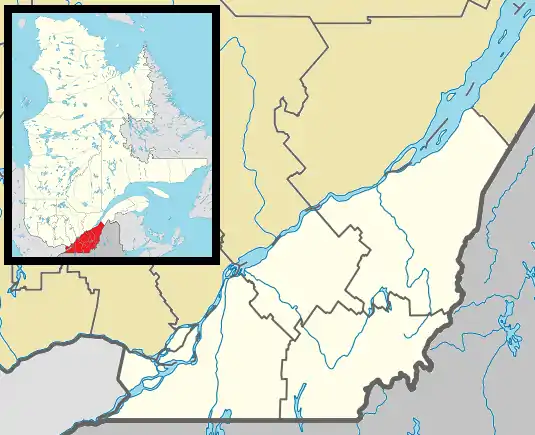 Saint-Wenceslas Location in southern Quebec. | |
| Coordinates: 46°10′N 72°20′W[1] | |
| Country | |
| Province | |
| Region | Centre-du-Québec |
| RCM | Nicolet-Yamaska |
| Constituted | October 11, 1995 |
| Government | |
| • Mayor | Daniel Lamothe |
| • Federal riding | Bas-Richelieu— Nicolet—Bécancour |
| • Prov. riding | Nicolet-Bécancour |
| Area | |
| • Total | 79.70 km2 (30.77 sq mi) |
| • Land | 80.20 km2 (30.97 sq mi) |
| There is an apparent contradiction between two authoritative sources | |
| Population | |
| • Total | 1,064 |
| • Density | 13.3/km2 (34/sq mi) |
| • Pop 2006-2011 | |
| • Dwellings | 496 |
| Time zone | UTC−5 (EST) |
| • Summer (DST) | UTC−4 (EDT) |
| Postal code(s) | G0Z 1J0 |
| Area code(s) | 819 |
| Highways | |
| Website | www.municipalite stwenceslas.com |
The village church in Saint-Wenceslas was designed by Jean-Baptiste Louis Bourgeois, a local architect who also designed a Bahá'í House of Worship in the town of Wilmette, United States.
Demographics
| Census | Population | Change (%) |
|---|---|---|
| 2011 | 1,064 | |
| 2006 | 1,101 | |
| 2001 | 1,132 | |
| 1996 | 1,170 | |
| 1991 | 1,190 | N/A |
See also
References
- Reference number 308946 of the Commission de toponymie du Québec (in French)
- Geographic code 50023 in the official Répertoire des municipalités (in French)
- "(Code 2450023) Census Profile". 2011 census. Statistics Canada. 2012.
- Statistics Canada: 1996, 2001, 2006, 2011 census
Adjacent Municipal Subdivisions | |
|---|---|
| Cities | |
|---|---|
| Municipalities | |
| Parishes | |
| Villages | |
| |
| Authority control |
|
|---|
This article is issued from Wikipedia. The text is licensed under Creative Commons - Attribution - Sharealike. Additional terms may apply for the media files.
