San Donato Milanese
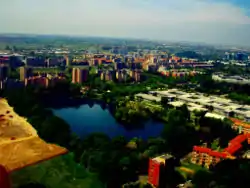
San Donato Milanese (Milanese: San Donaa [ˌsãː duˈnɑː]) is a comune (municipality) in the Metropolitan City of Milan in the Italian region Lombardy, located about 10 kilometres (6 mi) southeast of Milan. It is served by the San Donato underground station right on the borderline between the town and Milan and by the San Donato Milanese railway station, serving only trains for the Trenord S1 line "Saronno–Lodi" and vice versa.
San Donato Milanese | |
|---|---|
| Città di San Donato Milanese | |
 | |
 Coat of arms | |
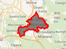
Location of San Donato Milanese 
| |
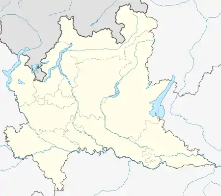
 San Donato Milanese Location of San Donato Milanese in Italy  San Donato Milanese San Donato Milanese (Lombardy) | |
| Coordinates: 45°25′N 9°16′E | |
| Country | Italy |
| Region | Lombardy |
| Metropolitan city | Milan (MI) |
| Frazioni | Poasco, Sorigherio |
| Government | |
| • Mayor | Andrea Checchi (PD) |
| Area | |
| • Total | 12.8 km2 (4.9 sq mi) |
| Elevation | 102 m (335 ft) |
| Population (31 August 2015)[2] | |
| • Total | 32,517 |
| • Density | 2,500/km2 (6,600/sq mi) |
| Demonym(s) | Sandonatesi |
| Time zone | UTC+1 (CET) |
| • Summer (DST) | UTC+2 (CEST) |
| Postal code | 20097 |
| Dialing code | 02 |
| Patron saint | Donatus of Arezzo |
| Website | Official website |
History
Although the area was settled in ancient times, the origins of San Donato date back to the 7th century, when a pieve was founded here by the army of Grimoald I, Duke of Benevento. After a period under the Milanese family De Advocati, the town was a possession of the archbishops of Milan until the 16th century.
A series of abbeys were founded in the area by Bernard of Clairvaux during the 11th century. Later Frederick Barbarossa resided here after his destruction of Milan, while the Visconti and the Torriani fought here (1278) for the possession of the duchy of Milan. The battle of Marignano was also fought nearby, Francis I of France settled his headquarters here after the battle.
Today San Donato is a modern industrial and services centre. It received the honorary title of city with a presidential decree on the 30th of December 1976.
References
- "Superficie di Comuni Province e Regioni italiane al 9 ottobre 2011". Istat. Retrieved 16 March 2019.
- Population data from Istat