Saraphi District
Saraphi District (Thai: สารภี) is a district (amphoe) of Chiang Mai Province, northern Thailand.
Saraphi
สารภี | |
|---|---|
 Wat Chedi Liam, a part of greater Wiang Kum Kam archaeology site | |
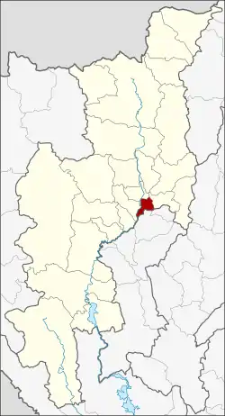 District location in Chiang Mai Province | |
| Coordinates: 18°42′48″N 99°2′11″E | |
| Country | Thailand |
| Province | Chiang Mai |
| Area | |
| • Total | 97.45 km2 (37.63 sq mi) |
| Population (2005) | |
| • Total | 74,782 |
| • Density | 767.4/km2 (1,988/sq mi) |
| Time zone | UTC+7 (ICT) |
| Postal code | 50140 |
| Geocode | 5019 |
Geography
Saraphi borders the districts (from west clockwise) Hang Dong, Mueang Chiang Mai, San Kamphaeng of Chiang Mai Province, Mueang Lamphun of Lamphun Province.
History
The district was established in 1891, then named Yang Noeng (ยางเนิ้ง). In 1927 it was renamed Saraphi.
Administration
The district is divided into 12 sub-districts (tambons), which are further subdivided into 105 villages (mubans). Yang Noeng is a township (thesaban tambon) which covers parts of tambons Yang Noeng, Saraphi, and Nong Phueng. The township Saraphi covers parts of tambon Saraphi. There are a further 10 tambon administrative organizations (TAO).
| No. | Name | Thai name | Villages | Pop. | |
|---|---|---|---|---|---|
| 1. | Yang Noeng | ยางเนิ้ง | 7 | 8,964 | |
| 2. | Saraphi | สารภี | 9 | 6,959 | |
| 3. | Chom Phu | ชมภู | 9 | 6,873 | |
| 4. | Chai Sathan | ไชยสถาน | 8 | 4,567 | |
| 5. | Khua Mung | ขัวมุง | 10 | 5,510 | |
| 6. | Nong Faek | หนองแฝก | 9 | 5,271 | |
| 7. | Nong Phueng | หนองผึ้ง | 8 | 11,429 | |
| 8. | Tha Kwang | ท่ากว้าง | 7 | 2,856 | |
| 9. | Don Kaeo | ดอนแก้ว | 7 | 3,913 | |
| 10. | Tha Wang Tan | ท่าวังตาล | 13 | 9,299 | |
| 11. | San Sai | สันทราย | 12 | 5,635 | |
| 12. | Pa Bong | ป่าบง | 6 | 3,506 |
References
See also
- Chiang Mai Metropolitan Area
External links
This article is issued from Wikipedia. The text is licensed under Creative Commons - Attribution - Sharealike. Additional terms may apply for the media files.