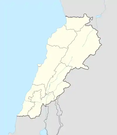
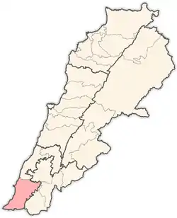
Selaa
Selaa, Silảh, (Arabic: سلع) is a village in the Tyre District in Southern Lebanon.
Selaa
سلع | |
|---|---|
Village | |
 Selaa | |
| Coordinates: 33°15′15″N 35°22′18″E | |
| Grid position | 185/295 PAL |
| Country | |
| Governorate | South Governorate |
| District | Tyre |
| Elevation | 1,440 ft (440 m) |
| Time zone | GMT +3 |
Name
According to E. H. Palmer, Silảh comes from "the crevasse".[1]
History
In 1875, Victor Guérin found here 250 Metuali inhabitants.[2] He further noted: "Here I found an ancient press, the lid of a sarcophagus with acroteria, and a broken sarcophagus, at one of whose ends is a projection resembling an altar. Near it is a great grave with room for two bodies, with a partition wall left in the rock; and beside this an enormous detached block, hollowed out for two bodies, and resting on a surface purposely planed.'[3] Close to Silah, Guérin also found the ruins of a small village, completely destroyed, known as Kh. Fenian.[4]
In 1881, the PEF's Survey of Western Palestine (SWP) described it as: "a village, built of stone and of good materials, containing about 200 [..] Metawileh, on hill, with figs, olives, and arable land. Water from cisterns and a spring near."[5] They further noted that it had a perennial spring, built up with masonry,[6] and that it was "an ancient site; there is a terraced hill; there are six sarcophagi and two olive-presses near the village."[4]
References
Bibliography
- Conder, C.R.; Kitchener, H.H. (1881). The Survey of Western Palestine: Memoirs of the Topography, Orography, Hydrography, and Archaeology. 1. London: Committee of the Palestine Exploration Fund.
- Guérin, V. (1880). Description Géographique Historique et Archéologique de la Palestine (in French). 3: Galilee, pt. 2. Paris: L'Imprimerie Nationale.
- Palmer, E.H. (1881). The Survey of Western Palestine: Arabic and English Name Lists Collected During the Survey by Lieutenants Conder and Kitchener, R. E. Transliterated and Explained by E.H. Palmer. Committee of the Palestine Exploration Fund.
External links
- Selaa, Localiban
- Survey of Western Palestine, Map 2: IAA, Wikimedia commons
Capital: Tyre | ||
| Towns and villages |
|  |
| Palestinian refugee camps | ||
| Other | ||
