Tayr Harfa
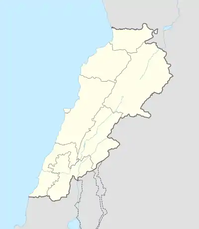
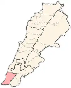
Tayr Harfa (Arabic: طير حرفا) is a village in Tyre District in Southern Lebanon.
Tayr Harfa
طير حرفا | |
|---|---|
Village | |
 Tayr Harfa | |
| Coordinates: 33°7′41.5″N 35°12′44.2″E | |
| Grid position | 170/281 PAL |
| Country | |
| Governorate | South Governorate |
| District | Tyre |
| Highest elevation | 1,380 ft (420 m) |
| Time zone | GMT +3 |
Name
According to E. H. Palmer, the name means "The fortress of Harfa".[1]
History
In 1852, during the late Ottoman era, Edward Robinson noted it on his travels in the region.[2]
In 1875, Victor Guérin found here 200 Metuali inhabitants.[3]
In 1881, the PEF's Survey of Western Palestine (SWP) described it: "A stone and mud village, containing about 200 Moslems, on a hill, with olives, figs, and arable land, and waste ground covered with brushwood. Water from cisterns."[4]
References
Bibliography
- Conder, C.R.; Kitchener, H.H. (1881). The Survey of Western Palestine: Memoirs of the Topography, Orography, Hydrography, and Archaeology. 1. London: Committee of the Palestine Exploration Fund.
- Guérin, V. (1880). Description Géographique Historique et Archéologique de la Palestine (in French). 3: Galilee, pt. 2. Paris: L'Imprimerie Nationale.
- Palmer, E.H. (1881). The Survey of Western Palestine: Arabic and English Name Lists Collected During the Survey by Lieutenants Conder and Kitchener, R. E. Transliterated and Explained by E.H. Palmer. Committee of the Palestine Exploration Fund.
- Robinson, E.; Smith, E. (1856). Later Biblical Researches in Palestine and adjacent regions: A Journal of Travels in the year 1852. London: John Murray.
External links
- Tayr Harfa, Localiban
- Survey of Western Palestine, Map 3: IAA, Wikimedia commons
Capital: Tyre | ||
| Towns and villages |
|  |
| Palestinian refugee camps | ||
| Other | ||
This article is issued from Wikipedia. The text is licensed under Creative Commons - Attribution - Sharealike. Additional terms may apply for the media files.
