Sion, Mumbai
The Marathi and official name for Sion is Sheev. Sion is a neighbourhood of Mumbai. In the 17th century the village formed the boundary between Mumbai and Salsette Island. The British named it marking the end of the city. The name remained even after Mumbai was joined to the Salsette and extended up to Mulund. One of the local historical places in Sion is a hilltop garden commonly known as Sion Fort or Sheevon Killa in the Marathi language.
Sion | |
|---|---|
Sion | |
 Sion | |
| Coordinates: 19.04°N 72.86°E | |
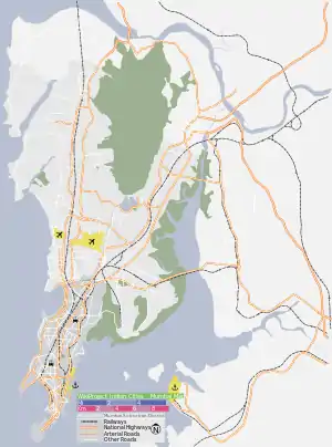
| Country | India |
| State | Maharashtra |
| District | Mumbai City |
| City | Mumbai |
| Government | |
| • Type | Municipal Corporation |
| • Body | Brihanmumbai Municipal Corporation (BMC) |
| Languages | |
| • Official | Marathi |
| Time zone | UTC+5:30 (IST) |
| Area code(s) | 022 |
| ISO 3166 code | IN-MH |
History
In 1543, the Portuguese took possession of the largely uninhabited islands of Bombay, naming it Sião, after a biblical hill in Israel.[1] The Portuguese gave the Jesuit priests the sole ownership of some of these islands. The Jesuits then built a chapel on the hill near the present-day railway station and named it after Mount Zion (Sion) in Jerusalem.
Connectivity
Sion shares its name with a railway station on the Mumbai suburban railway on the Central Railway line. Sion also has a bus station.
Education
Sion is also a home to many educational institutes, namely:
- Ayurved College Sion
- K. J. Somaiya Institute Of Engineering & Information Technology
- SIES College of Commerce and Economics
- SIES College of Arts, Science, and Commerce
- Padmabhushan Vasantdada Patil Pratishthan's College of Engineering
- K. J. Somaiya Medical College & Research Centre.[2]
- Lokmanya Tilak Municipal General Hospital
- Our Lady Of Good Counsel High School
Notable former residents
See also
References
- D'Cunha, Jose Gerson (1900). "IV The Portuguese Period". The Origins of Bombay (3 ed.). Bombay: Asian Educational Services. p. 265. ISBN 81-206-0815-1. Retrieved 4 January 2009.
- "KJ Somaiya Medical College and Research Centre". Retrieved 31 January 2013.