St. Adolphe, Manitoba
St. Adolphe, or Saint Adolphe, originally called Pointe-Coupée, is a diked community in the Rural Municipality of Ritchot, Manitoba, Canada. It is located along the east bank of the Red River, approximately 12 kilometres (7.5 miles) south of Winnipeg. It was renamed after Adolphe Turner who made a large donation to the local church.[6][7] St. Adolphe is notable for being home to the world's largest snow maze.[8]
Saint Adolphe | |
|---|---|
_(12113002344).jpg.webp) A corn maze in St. Adolphe | |
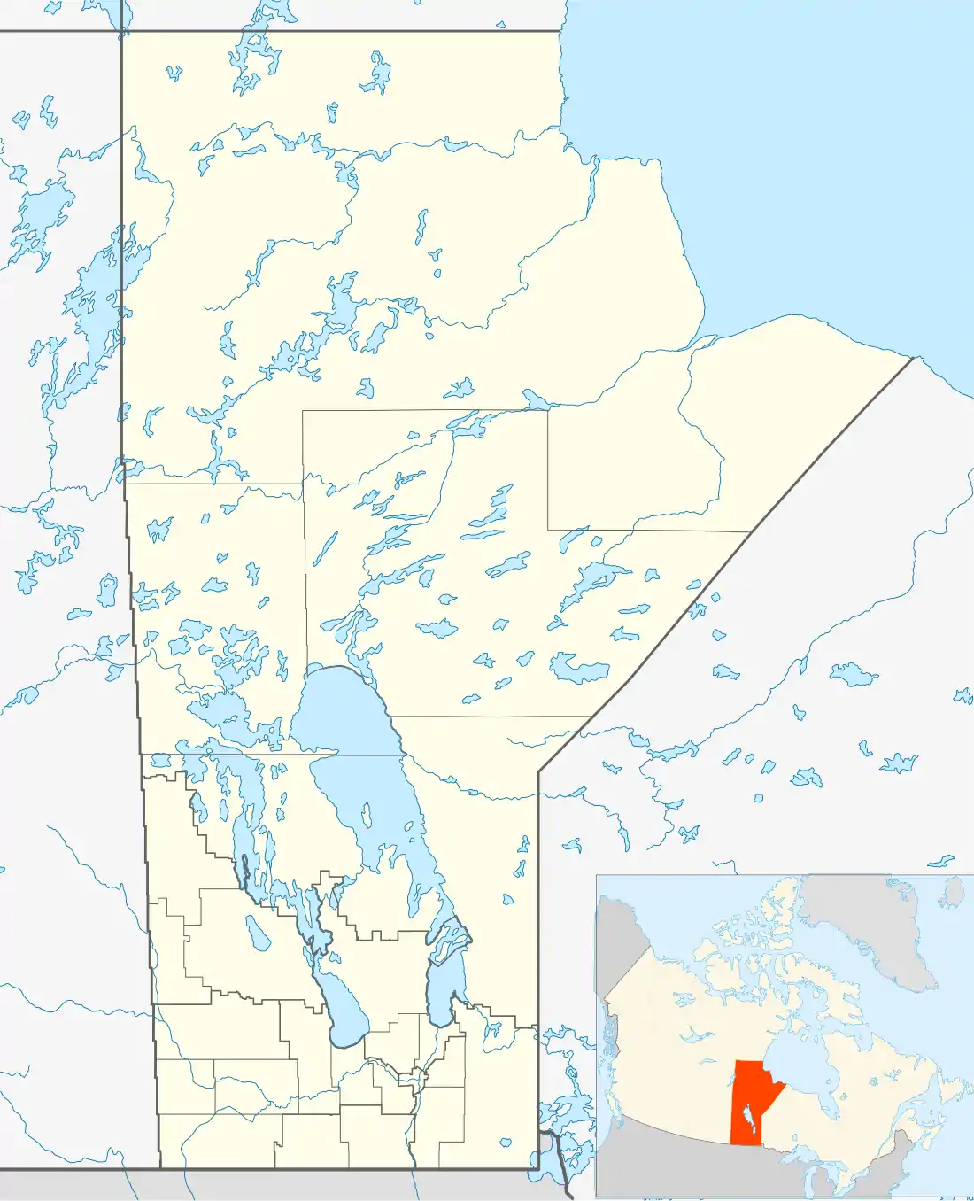 St. Adolphe Location of St. Adolphe in Manitoba | |
| Coordinates: 49°40′31″N 97°06′35″W | |
| Country | Canada |
| Province | Manitoba |
| Region | Eastman |
| Established | 1857 [1] |
| Government | |
| • Mayor | Chris Ewen[2] |
| • Councillor (Ward 2) | Ron Mamchuk[2] |
| • Governing Body | R.M. of Ritchot Council |
| • MLA (Springfield-Ritchot) | Ron Schuler |
| • MP (Provencher) | Ted Falk |
| Elevation | 234[3] m (769 ft) |
| Population | |
| • Total | 1,362 |
| • Density | 853.9/km2 (2,212/sq mi) |
| Time zone | UTC-6 (CST) |
| • Summer (DST) | UTC-5 (CDT) |
| Postal Code | R5A 1A1, R5A 1A2, & R5A 1A3, R5A 1A8 [5] |
History
The area was first settled by the Métis before 1812. They were joined by others who came after the merger of the Hudson's Bay Company and the North West Company and residents from the Red River Colony who arrived after the floods of 1826 and 1852. In 1857, the Parish of St. Norbert was founded which encompassed the then settlements of Pointe-Coupée (now St. Adolphe) and Point-à-Grouette (now Ste. Agathe). The first school was established in 1865-1866. When the R.M. of Ritchot was founded in 1890, the town was incorporated into it. The post office was opened in 1891, under the name of Dubuc, changed to St. Adolphe two years later.[7] In 1893, the mission was constructed and on January 10, 1896 the Parish of St. Adolphe was founded.[9] The School District of St. Adolphe was formed in 1896 as well. In 1906, a group of French nuns from the Filles de la Croix order opened a Roman Catholic convent and school at St. Adolphe which would come to greatly influence the town.[10] The current church was built in 1913. The convent was the site of a reported miracle in 1922, when one of the Sisters, stricken with tuberculosis and near death, miraculously recovered after several days of prayer. The town was connected to the Manitoba Hydro electrical grid in 1939. Two years later, a credit union was built. By 1946, the town had a population of 590. The floods of 1950 and 1966 caused the evacuation of the town, the latter of which prompted the construction of a ring dyke around the town. In 1967, the Sisters converted the school into a nursing home and later sold it in 1972. In 1991, the population of the town stood at 1226, up from 460 in 1971. The former convent served as a personal care home until 2013, at which time it was replaced by a new state-of-the-art facility in the neighbouring town of Niverville. The convent was demolished in June 2017.[11][12][13] [14]
Services
St. Adolphe is serviced by a post office, an indoor hockey arena and community centre, a curling club, two churches, a pharmacy, multiple local businesses and the R.M. of Ritchot's administrative offices.
Water
In 2000, Manitoba Health issued boil water advisories for the communities of St. Adolphe and Ile-des-Chênes. A C$6 million fund under the Canada-Manitoba Infrastructure Program was announced in July 2001. The water project involved completely new water supply pipes, distribution pipes, reservoir and pumping equipment. The new system serves more than 700 households in the Ste. Agathe, Ile des Chênes, and rural farmland areas.[15]
Education
École St. Adolphe School is the only school in the town. It has both French Immersion and English classes from Kindergarten to Grade 8. It belongs to Seine River School Division. After Grade 8, students progress to Collège St. Norbert Collegiate. In 2019, the school had an enrolment of approximately 275 children.[16] French speaking families also have the option of sending their children to École Noël Ritchot, a French school located in the community of St. Norbert, approximately 10 minutes north of the town. École Noël Ritchot is operated by the Franco-Manitoban School Division.
Population
Although it was once a predominantly francophone community, the number of English-speaking residents has rapidly increased in recent years as St. Adolphe has become a bedroom community of the city of Winnipeg. As of 2016, roughly 1/3 of the residents have French as their first language.[17]
| Year | Population | One-year % change |
Five-year % change |
Total % change |
|---|---|---|---|---|
| 1910 | 450 | n/a | n/a | n/a |
| 1946 | 590 | 0.9% | 4.3% | 31.1% |
| 1971 | 460 | -0.9% | -4.4% | -22% |
| 1991 | 1226 | 8.3% | 41.6% | 166.5% |
| 2006 | 1048 | -1.0% | -4.8% | -14.5% |
| 2011 | 1036 | -0.2% | -1.1% | -1.1% |
| 2016 | 1362 | 6.3% | 31.5% | 31.5% |
| Source: Statistics Canada [18][17][14] | ||||
Notable people
- Shawn Limpright, professional hockey player
Climate
| Climate data for Glenlea | |||||||||||||
|---|---|---|---|---|---|---|---|---|---|---|---|---|---|
| Month | Jan | Feb | Mar | Apr | May | Jun | Jul | Aug | Sep | Oct | Nov | Dec | Year |
| Record high °C (°F) | 5.5 (41.9) |
8.5 (47.3) |
16.5 (61.7) |
34 (93) |
36.5 (97.7) |
38 (100) |
36.5 (97.7) |
38.5 (101.3) |
38.5 (101.3) |
30 (86) |
23.3 (73.9) |
10 (50) |
38.5 (101.3) |
| Average high °C (°F) | −11.6 (11.1) |
−7.7 (18.1) |
−0.9 (30.4) |
10.7 (51.3) |
19.1 (66.4) |
23.3 (73.9) |
25.5 (77.9) |
25.5 (77.9) |
18.6 (65.5) |
10.6 (51.1) |
−0.8 (30.6) |
−9.4 (15.1) |
8.6 (47.5) |
| Daily mean °C (°F) | −17.2 (1.0) |
−13.3 (8.1) |
−6 (21) |
4.4 (39.9) |
12.2 (54.0) |
17 (63) |
19.4 (66.9) |
18.8 (65.8) |
12.5 (54.5) |
4.9 (40.8) |
−5.3 (22.5) |
−14.3 (6.3) |
2.8 (37.0) |
| Average low °C (°F) | −22.6 (−8.7) |
−19 (−2) |
−11.1 (12.0) |
−1.9 (28.6) |
5.3 (41.5) |
10.8 (51.4) |
13.2 (55.8) |
12.1 (53.8) |
6.1 (43.0) |
−0.8 (30.6) |
−9.7 (14.5) |
−19.9 (−3.8) |
−3.1 (26.4) |
| Record low °C (°F) | −43 (−45) |
−42 (−44) |
−35.5 (−31.9) |
−30 (−22) |
−11.7 (10.9) |
−4.4 (24.1) |
1.7 (35.1) |
−2.5 (27.5) |
−7 (19) |
−20.5 (−4.9) |
−36.5 (−33.7) |
−40 (−40) |
−43 (−45) |
| Average precipitation mm (inches) | 16.3 (0.64) |
12.5 (0.49) |
20.7 (0.81) |
27.7 (1.09) |
61.5 (2.42) |
97.7 (3.85) |
91.7 (3.61) |
49 (1.9) |
43.1 (1.70) |
35.7 (1.41) |
26.5 (1.04) |
21.5 (0.85) |
542.7 (21.37) |
| Source: Environment Canada[19] | |||||||||||||
Note: This weather data is from the weather station in Glenlea, a community ~5km from St. Adolphe.
Infrastructure
Road access to St. Adolphe is provided by Saint Mary's Road (Provincial Road 200) which runs North-South and PR 210 which runs East-West. The Pierre Delorme Bridge, the only local crossing over the Red River, links the town with Highway 75 1.4 kilometres (0.87 miles) to the west using PR 210. The bridge replaced a seasonal ferry in 1976,[20] the last ferry to operate on the Red River in Manitoba. In addition, many residents use Highway 75 to commute from and to Winnipeg. St. Adolphe is protected by a ring dyke as the community lies in the Red River Valley, a region prone to major flooding.
Attractions
A Maze in Corn
Colloquially known as “The Corn Maze”, this business attracts many from across southern Manitoba. Found 2 kilometres (1.2 miles) north of the town, it boasts a large corn maze, six ziplines and other activities.[21] In January 2019, they built the world's largest snow maze at 30,021ft², verified by Guinness World Records.[8]
Politics
In politics, St. Adolphe is located in the ridings of Provencher (federal), represented by Conservative MP Ted Falk and Springfield-Ritchot (provincial), represented by Progressive Conservative MLA Ron Schuler. As well, St. Adolphe is in the R.M. of Ritchot in Ward 2, represented by Ron Mamchuk,[22] who is a councillor for the local municipal jurisdiction, the R.M. of Ritchot. Chris Ewen is currently mayor, after having been elected in a by-election in 2017 and acclaimed in the 2018 election.
References
- "St. Adolphe - Southwest Region - Destinations - Joie de Vivre". joiedevivremanitoba.com. Retrieved 24 September 2018.
- "Municipality of Ritchot - Council". www.ritchot.com.
- "Elevation Finder". www.freemaptools.com.
- Government of Canada, Statistics Canada (February 8, 2017). "Census Profile, 2016 Census - St. Adolphe [Population centre], Manitoba and Manitoba [Province]". www12.statcan.gc.ca.
- "POSTAL CODES ST ADOLPHE, ST ADOLPHE, MANITOBA". www.ezpostalcodes.com. Retrieved 24 September 2018.
- Barkwell, Lawrence J. (2018) Historic Metis settlements in Manitoba and geographical place names. Winnipeg, Manitoba: Louis Riel Institute, 2018. ISBN 978-1-927531-1-81
- https://www.gov.mb.ca/sd/pubs/forest_lands/cdgnm.pdf
- Gerbrandt, Connor. "Welcome To St. Adolphe: Home Of The World's Biggest Snow Maze". Steinbachonline.com. Retrieved 2019-02-18.
- Blay, Jacqueline (2013-09-01). Histoire du Manitoba français (tome 2) : Le temps des outrages: Essai historique - Récipiendaire du Prix Champlain 2014 (in French). 4117654 Manitoba Ltée (Éditions des Plaines | Vidacom Publications. ISBN 978-2-89611-461-0.
- http://www.cdem.com/user_files/03-11-2013/08-054_vision_ritchot_May28-09.pdf
- "That Old Convent". Winnipeg Free Press. December 12, 2014.
- "St. Adolphe". Joie de Vivre Manitoba. Retrieved February 14, 2015.
- "History of the Personal Care Home". Niverville Heritage Centre. Retrieved February 21, 2015.
- admin (5 May 2017). "Saint-Adolphe". shsb.mb.ca. Retrieved 24 September 2018.
- "Canada-Manitoba Infrastructure Program Funds New Water Supply for Ste. Adolphe and Ile-des-Chenes". gov.mb..ca. July 10, 2001. Retrieved February 13, 2020.
- (PDF) https://www.edu.gov.mb.ca/k12/finance/sch_enrol/enrolment_2019.pdf. Missing or empty
|title=(help) - Government of Canada, Statistics Canada (February 8, 2017). "Census Profile, 2016 Census - St. Adolphe [Population centre], Manitoba and Canada [Country]". www12.statcan.gc.ca.
- Canada, Government of Canada, Statistics. "Statistics Canada: 2011 Census Profile". www12.statcan.gc.ca. Retrieved 24 September 2018.
- Canada, Environment and Climate Change. "Canadian Climate Normals 1981-2010 Station Data - Climate - Environment and Climate Change Canada". climate.weather.gc.ca. Retrieved 24 September 2018.
- https://www.gov.mb.ca/chc/louis_riel/pdf/st_norbert.pdf
- "Zip Lines, Corn Mazes & Petting Zoo Outdoor Activities in Manitoba". www.cornmaze.ca. Retrieved 2019-02-18.
- "SteinbachOnline.com - Local news, Weather, Sports, Free Classifieds and Business Listings for Steinbach, Manitoba". Steinbachonline.com.
| Cities |  | ||
|---|---|---|---|
| Towns | |||
| Villages | |||
| Rural municipalities |
| ||
| First Nations | |||
| Indian reserves | |||
| Unincorporated communities | |||