St. Libory, Nebraska
St. Libory is an unincorporated community and census-designated place (CDP) in southeastern Howard County, Nebraska, United States. As of the 2010 census it had a population of 264.[1]
St. Libory, Nebraska | |
|---|---|
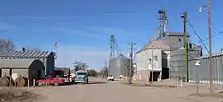 Spruce Street, St. Libory | |
 St. Libory  St. Libory | |
| Coordinates: 41°4′55″N 98°21′19″W | |
| Country | United States |
| State | Nebraska |
| County | Howard |
| Area | |
| • Total | 0.33 sq mi (0.86 km2) |
| • Land | 0.33 sq mi (0.86 km2) |
| • Water | 0.0 sq mi (0.0 km2) |
| Elevation | 1,863 ft (568 m) |
| Population (2010) | |
| • Total | 264 |
| • Density | 800/sq mi (310/km2) |
| Time zone | UTC-6 (Central (CST)) |
| • Summer (DST) | UTC-5 (CDT) |
| ZIP code | 68872 |
| FIPS code | 31-43160 |
| GNIS feature ID | 832963 |
It lies along U.S. Route 281, 11 miles (18 km) southeast of the city of St. Paul, the county seat of Howard County.[2] Its elevation is 1,863 feet (568 m) above sea level.[3] Although St. Libory is unincorporated, it has a post office, with the ZIP code of 68872.[4] St. Libory is known in the region for its fresh melon market.[5]
History
St. Libory got its start when the Union Pacific Railroad was extended to that point.[6] It was named after the village of St. Libory, Illinois.[7] The first post office in St. Libory was established in 1878.[8]
References
- "Geographic Identifiers: 2010 Census Summary File 1 (G001): St. Libory CDP, Nebraska". American Factfinder. U.S. Census Bureau. Archived from the original on February 13, 2020. Retrieved August 24, 2017.
- Rand McNally. The Road Atlas '08. Chicago: Rand McNally, 2008, p. 63.
- U.S. Geological Survey Geographic Names Information System: St. Libory, Nebraska, Geographic Names Information System, 1979-03-09. Accessed 2008-04-26.
- Zip Code Lookup
- Meyer, Diana Lambdin (1 July 2010). Nebraska: A Guide to Unique Places. Globe Pequot. p. 150. ISBN 978-0-7627-6616-1.
- Burr, George L. (1921). History of Hamilton and Clay Counties, Nebraska, Volume 1. S.J. Clarke Publishing Company. p. 120.
- Guide to the Union Pacific Railroad Lands. Union Pacific Railroad Company Land Department. 1878. p. 21.
- "Howard County". Jim Forte Postal History. Retrieved 13 August 2014.
Municipalities and communities of Howard County, Nebraska, United States | ||
|---|---|---|
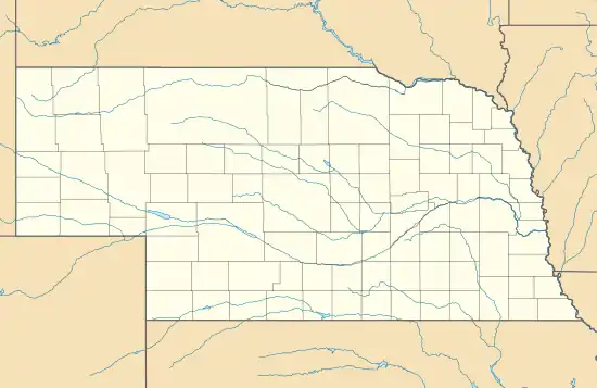
| City | Map of Nebraska highlighting Howard County | |
| Villages | ||
| CDP | ||
| Unincorporated communities | ||
| Footnotes | ‡This populated place also has portions in an adjacent county or counties | |
| ||
This article is issued from Wikipedia. The text is licensed under Creative Commons - Attribution - Sharealike. Additional terms may apply for the media files.