Stanchfield, Minnesota
Stanchfield is an unincorporated community and census-designated place (CDP) in Stanchfield Township, Isanti County, Minnesota, United States.[4] As of the 2010 census, its population was 118.[2]
Stanchfield | |
|---|---|
 Stanchfield  Stanchfield | |
| Coordinates: 45°40′24″N 93°11′00″W | |
| Country | United States |
| State | Minnesota |
| County | Isanti |
| Township | Stanchfield |
| Area | |
| • Total | 0.532 sq mi (1.38 km2) |
| • Land | 0.531 sq mi (1.38 km2) |
| • Water | 0.001 sq mi (0.003 km2) |
| Elevation | 942 ft (287 m) |
| Population | |
| • Total | 118 |
| • Density | 220/sq mi (86/km2) |
| Time zone | UTC-6 (Central (CST)) |
| • Summer (DST) | UTC-5 (CDT) |
| Area code(s) | 763 |
| GNIS feature ID | 652540[3] |
Isanti County Roads 3 and 36; and State Highway 65 (MN 65) are three of the main routes in the community. The community is located between Cambridge and Braham. Grandy is nearby.[5]
Notable person
Wendell Erickson (1925-2018), educator and Minnesota state legislator, was born in Stanchfield.[6]
Demographics
| Historical population | |||
|---|---|---|---|
| Census | Pop. | %± | |
| 2010 | 118 | — | |
| U.S. Decennial Census[7] | |||
2010 census
As of the census[2] of 2010, there were 118 people, 42 households, and 33 families in the CDP. The population density was 222.2 inhabitants per square mile (85.8/km2). There were 46 housing units at an average density of 86.6 per square mile (33.4/km2). The racial makeup of the CDP was 99.2% White, and 0.8% Asian.
There were 42 households, of which 42.9% had children under the age of 18 living with them, 57.1% were married couples living together, 9.5% had a female householder with no husband present, 11.9% had a male householder with no wife present, and 21.4% were non-families. 11.9% of all households were made up of individuals, and 4.8% had someone living alone who was 65 years of age or older. The average household size was 2.81 and the average family size was 3.06.
The median age in the CDP was 30.5 years. 31.4% of residents were under the age of 18; 5.1% were between the ages of 18 and 24; 29.7% were from 25 to 44; 25.4% were from 45 to 64; and 8.5% were 65 years of age or older. The gender makeup of the CDP was 53.4% male and 46.6% female.
References
- "US Gazetteer files: 2010, 2000, and 1990". United States Census Bureau. 2011-02-12. Retrieved 2011-04-23.
- "U.S. Census website". United States Census Bureau. Retrieved 2011-05-14.
- "Stanchfield, Minnesota". Geographic Names Information System. United States Geological Survey.
- Minnesota Department of Transportation-Stanchfield, Township, Isanti County, Minnesota
- Minnesota Department of Transportation-Isanti County
- Wendell Erickson-obituary
- "Census of Population and Housing". Census.gov. Retrieved May 26, 2019.
- Rand McNally Road Atlas – 2007 edition – Minnesota entry
- Official State of Minnesota Highway Map – 2013/2014 edition
Municipalities and communities of Isanti County, Minnesota, United States | ||
|---|---|---|
| Cities | 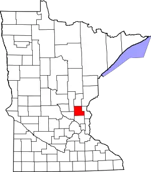 Map of Minnesota highlighting Isanti County | |
| Townships | ||
| CDP | ||
| Unincorporated communities | ||
| Ghost town | ||
| Footnotes | ‡This populated place also has portions in an adjacent county or counties | |
| ||