Stavenice
Stavenice (German: Steinmetz) is a village and municipality (obec) in Šumperk District in the Olomouc Region of the Czech Republic.
Stavenice | |
|---|---|
Municipality | |
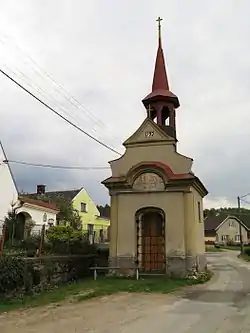 Chapel of Saint Florian | |
 Flag  Coat of arms | |
 Stavenice | |
| Coordinates: 49°47′15″N 16°58′24″E | |
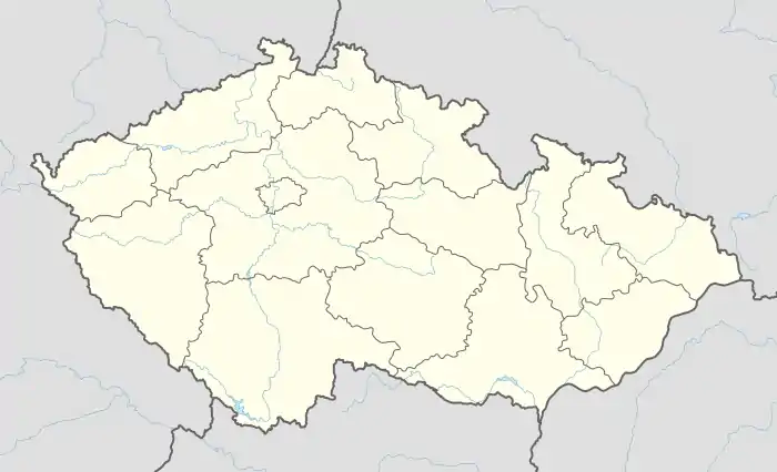
| Country | |
| Region | Olomouc |
| District | Šumperk |
| Area | |
| • Total | 6.48 km2 (2.50 sq mi) |
| Elevation | 255 m (837 ft) |
| Population (2012) | |
| • Total | 142 |
| • Density | 22/km2 (57/sq mi) |
| Postal code | 789 73 |
| Website | http://www.stavenice.cz |
The municipality covers an area of 6.48 square kilometres (2.50 sq mi), and has a population of 144 (as at 28 August 2006).
Stavenice lies approximately 20 kilometres (12 mi) south of Šumperk, 30 km (19 mi) north-west of Olomouc, and 186 km (116 mi) east of Prague.
This article is issued from Wikipedia. The text is licensed under Creative Commons - Attribution - Sharealike. Additional terms may apply for the media files.