Stephenville Air Station
Stephenville Air Station (ADC ID: N-23) is a closed General Surveillance Radar station. It is located 9.5 kilometres (5.9 mi) north-northwest of Stephenville, Newfoundland and Labrador, Canada.[1] It was closed in 1971.
| Stephenville Air Station | |
|---|---|
| Part of Pinetree Line | |
| Newfoundland, Canada | |
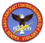 640th Aircraft Control and Warning Squadron emblem | |
| Coordinates | 48°35′21″N 058°39′58″W |
| Type | Radar Station |
| Code | N-23 |
| Site information | |
| Controlled by | Northeast Air Command Aerospace Defense Command |
| Site history | |
| Built | 1951 |
| Built by | United States Air Force |
| In use | 1951-1971 |
Stephenville AS
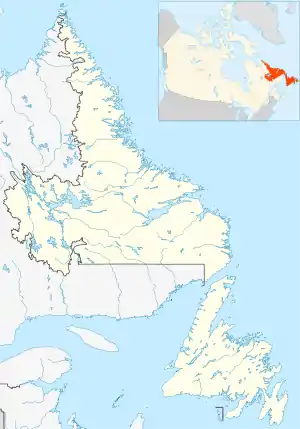
Location of Stephenville AS
History
The site was established in 1951 as a General Surveillance Radar station, built by the United States Air Force as part of the Pinetree Line of Ground-Control Intercept (GCI) radar sites.
USAF units and assignments
Units:
- 640th Aircraft Control and Warning Squadron
Assignments:
- 64th Air Division (NEAC), 1 September 1951
- 4731st Air Defense Group (ADC), 1 November 1957
- Goose Air Defense Sector, 6 June 1960
- 37th Air Division, 1 April 1966
- 21st Air Division, 31 March 1970 – 30 June 1971
References
![]() This article incorporates public domain material from the Air Force Historical Research Agency website http://www.afhra.af.mil/.
This article incorporates public domain material from the Air Force Historical Research Agency website http://www.afhra.af.mil/.
- A Handbook of Aerospace Defense Organization 1946 - 1980, by Lloyd H. Cornett and Mildred W. Johnson, Office of History, Aerospace Defense Center, Peterson Air Force Base, Colorado
- Winkler, David F. (1997), Searching the skies: the legacy of the United States Cold War defense radar program. Prepared for United States Air Force Headquarters Air Combat Command.

This article is issued from Wikipedia. The text is licensed under Creative Commons - Attribution - Sharealike. Additional terms may apply for the media files.