Sunol, Nebraska
Sunol is an unincorporated community and census-designated place in Cheyenne County, Nebraska, United States. As of the 2010 census it had a population of 73.[2] Sunol is located in the valley of Lodgepole Creek on U.S. routes 30 and 385, 11 miles (18 km) east of Sidney, the county seat. Interstate 80 is 3 miles (5 km) to the south via Nebraska Highway 17E.
Sunol, Nebraska | |
|---|---|
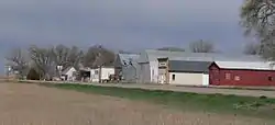 Downtown Sunol: north side of U.S. Highway 30/385 | |
 Sunol | |
| Coordinates: 41°09′19″N 102°45′49″W | |
| Country | United States |
| State | Nebraska |
| County | Cheyenne |
| Area | |
| • Total | 2.2 sq mi (5.7 km2) |
| • Land | 2.2 sq mi (5.7 km2) |
| • Water | 0 sq mi (0 km2) |
| Elevation | 3,930 ft (1,200 m) |
| Population (2010) | |
| • Total | 73 |
| • Density | 33/sq mi (12.9/km2) |
| Time zone | UTC-7 (Mountain (MST)) |
| • Summer (DST) | UTC-6 (MDT) |
| Area code(s) | 308 |
| GNIS feature ID | 833941[1] |
History
Sunol was platted in 1909.[3] A post office was established at Sunol in 1910, and remained in operation until it was discontinued in 1973.[4]
References
- "US Board on Geographic Names". United States Geological Survey. 2007-10-25. Retrieved 2008-01-31.
- "Geographic Identifiers: 2010 Demographic Profile Data (G001): Sunol CDP, Nebraska". U.S. Census Bureau, American actfinder. Archived from the original on February 12, 2020. Retrieved October 15, 2014.
- "Sunol". NEGenWeb. Retrieved 26 August 2014.
- "Cheyenne County". Jim Forte Postal History. Retrieved 25 August 2014.
Municipalities and communities of Cheyenne County, Nebraska, United States | ||
|---|---|---|
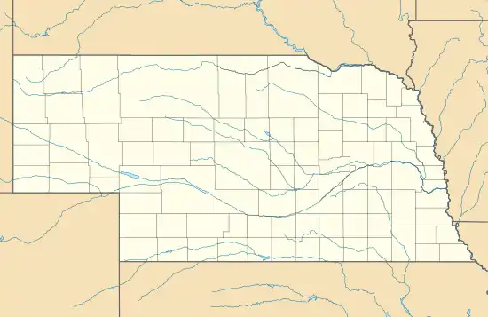
| City | Map of Nebraska highlighting Cheyenne County | |
| Villages | ||
| CDPs | ||
| Other unincorporated communities | ||
| ||
This article is issued from Wikipedia. The text is licensed under Creative Commons - Attribution - Sharealike. Additional terms may apply for the media files.