Tata, Morocco
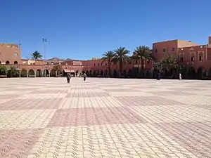
Tata (Arabic: طاطا, Berber languages: ⵟⴰⵟⴰ) is a province in central Morocco with a population of 18.611[1] according to the country's 2014 census. It is the largest city in Tata Province.[2]
Tata
ⵟⴰⵟⴰ طاطا | |
|---|---|
 | |
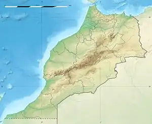 Tata Location in Morocco 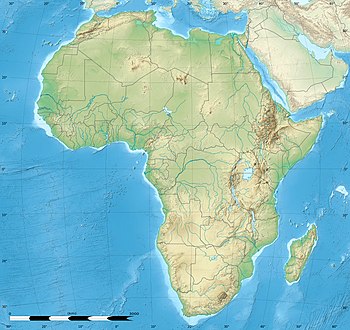 Tata Tata (Africa) | |
| Coordinates: 29°44′34″N 7°58′21″W | |
| Country | |
| Region | Souss-Massa |
| Province | Tata Province |
| Government | |
| • Mayor | lahcen zoubair |
| Population (2014) | |
| • Total | 18,611 |
| Time zone | UTC+0 (WET) |
| • Summer (DST) | UTC+1 (WEST) |
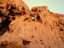
It is situated on a desert plain of the Sahara Desert, southeast of Agadir and Taroudant, close to the Algerian border and the mountain range Anti-Atlas located at the foot of The Bani mountain ranges a lower-range along the southern side of the Anti-Atlas (Arabic: سلسلة جبال باني). Tourists use the town as a base for excursions in the area. Tata lies on the N12 highway between to the north-east of the regional capital Guelmim and to the south of the neighboring region of Drâa-Tafilalet. Due to the remoteness of the area there is no border crossing with Algeria.
References
- Anthony Ham; et al. (February 2007). Morocco. Lonely Planet. ISBN 978-1-74059-974-0.
Capital: Agadir | ||
| Provinces and prefectures | 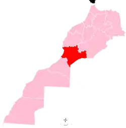 | |
| Cities | ||