Tofte, Minnesota
Tofte is an unincorporated community in Tofte Township, Cook County, Minnesota, United States.
Tofte | |
|---|---|
 Sunrise over Lake Superior in Tofte | |
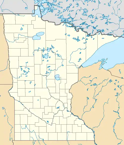
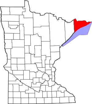
 Tofte Location of the community of Tofte within Tofte Township, Cook County  Tofte Tofte (the United States) | |
| Coordinates: 47°34′26″N 90°50′11″W | |
| Country | United States |
| State | Minnesota |
| County | Cook |
| Elevation | 627 ft (191 m) |
| Time zone | UTC-6 (Central (CST)) |
| • Summer (DST) | UTC-5 (CDT) |
| ZIP codes | 55615 |
| Area code(s) | 218 |
| GNIS feature ID | 658702[1] |
The community is located on the North Shore of Lake Superior.
Tofte is located 27 miles southwest of the city of Grand Marais; and 56 miles northeast of the city of Two Harbors.
Minnesota Highway 61 and Cook County Road 2 (Sawbill Trail) are two of the main routes in the community. Tofte is located within the Superior National Forest.
Temperance River State Park, the Gitchi-Gami State Trail, the Superior Hiking Trail, and the Carlton Peak Lookout are all nearby.
The communities of Schroeder and Taconite Harbor are immediately southwest of Tofte.
A post office called Tofte has been in operation since 1897.[2] The community was named for natives of Tofte, Norway.[3]
References
- "US Board on Geographic Names". United States Geological Survey. 2007-10-25. Retrieved 2008-01-31.
- "Cook County". Jim Forte Postal History. Retrieved 9 May 2015.
- Warren Upham (1920). Minnesota Geographic Names: Their Origin and Historic Significance. Minnesota Historical Society. p. 137.
