Tongobory
Tongobory is a town and commune (Malagasy: kaominina) in southwest Madagascar. It belongs to the district of Betioky, which is a part of Atsimo-Andrefana Region. The population of the commune was estimated to be approximately 21,000 in 2001 commune census.[2]
Tongobory | |
|---|---|
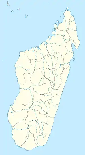 Tongobory Location in Madagascar | |
| Coordinates: 23°31′S 44°20′E | |
| Country | |
| Region | Atsimo-Andrefana |
| District | Betioky |
| Elevation | 88 m (289 ft) |
| Population (2001)[2] | |
| • Total | 21,000 |
| Time zone | UTC3 (EAT) |
Primary and junior level secondary education are available in town. Farming and raising livestock provides employment for 40% and 15% of the working population. The most important crops are maize and beans, while other important agricultural products are sweet potatoes and lima beans. Services provide employment for 5% of the population. Additionally fishing employs 40% of the population.[2]
Geography
Tongobory is situated at the Onilahy River and at a distance of 65 km from Andranovory.
References and notes
- Estimated based on DEM data from Shuttle Radar Topography Mission
- "ILO census data". Cornell University. 2002. Retrieved 2008-03-12.
| Ampanihy | 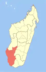 | |
|---|---|---|
| Ankazoabo | ||
| Benenitra | ||
| Beroroha | ||
| Betioky Sud | ||
| Morombe |
| |
| Sakaraha | ||
| Toliara I | ||
| Toliara II | ||
This article is issued from Wikipedia. The text is licensed under Creative Commons - Attribution - Sharealike. Additional terms may apply for the media files.