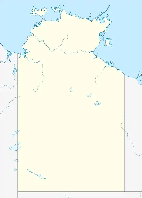
Wadeye, Northern Territory
Wadeye is a town in Australia's Northern Territory. Pronounced wod-air-yer or "wad-ayer", it was formerly known (and is still often referred to) as Port Keats. At the 2016 census, Wadeye had a population of 2,280.[1] Wadeye is the 6th most populous town, and the largest indigenous community in the Northern Territory.
| Wadeye Northern Territory | |||||||||
|---|---|---|---|---|---|---|---|---|---|
 Wadeye | |||||||||
| Coordinates | 14°14′20″S 129°31′19″E | ||||||||
| Population | 2,280 (2016 census)[1] | ||||||||
| Postcode(s) | 0822 | ||||||||
| Elevation | 11 m (36 ft) | ||||||||
| Location | 394 km (245 mi) from Darwin | ||||||||
| LGA(s) | West Daly Region | ||||||||
| Territory electorate(s) | Daly | ||||||||
| Federal Division(s) | Lingiari | ||||||||
| |||||||||
Description
Wadeye is mainly inhabited by Indigenous Australians. The inhabitants include seven language groups, the main language that is spoken being Murrinhpatha. The indigenous population has five traditional bands or kinship groups of Nangiomeri, Marimanindji, Marithiel, Maringar and Mulluk Mulluk. Port Keats is also the site of a temporary ADF Radar site that is used during exercises conducted in the Top End.
Location and access
The town is remote, situated on the western edge of the Daly River Reserve about 230 kilometres (140 mi) by air south-west of Darwin. The Fitzmaurice River more or less forms its southern boundary.
It lies close to the Hyland Bay and Moyle Floodplain Important Bird Area, identified as such by BirdLife International because of its importance for large numbers of waterbirds.[2]
Wadeye has a sealed airstrip, Port Keats Airfield, with regular passenger flights to Darwin. Road access is mostly unsealed via the Port Keats/ Daly River Road. Wadeye is only accessible by road during the dry season as the wet season renders many river crossings impassable, and access is only possible by light aircraft or coastal barge.
History
A mission station was founded by Roman Catholic Father Richard Docherty in 1935 at Werntek Nganayi (Old Mission), and subsequently moved to a new location with superior water, gardening and building sites and landing place.[3]
In 2020, despite the COVID-19 pandemic, seven students completed high school in Wadeye. It was the first time since 2007 that anyone had completed the final year.[4]
Art and culture
Nym Bunduk was the first painter in Wadeye who had international interest. He was asked by Bill Stanner, an anthropologist who had come with Richard Docherty in 1935, to produce pieces explaining traditional law, which he made after he saw a map produced by Stanner. He produced many bark paintings of the dreaming which informed Stanner's research. Today in Wadeye Mark Crocomb follows in the footsteps of Stanner collecting history and languages before they are lost. Following in the tradition of Nym Bundak is Richard 'Skunky' Parmbuk. He is one of many artists filling the space left by Nym in Wadeye.[5][6]
References
- Australian Bureau of Statistics (27 June 2017). "Wadeye (State Suburb)". 2016 Census QuickStats. Retrieved 11 April 2018.

- BirdLife International. (2011). Important Bird Areas factsheet: Hyland Bay and Moyle Floodplain. Downloaded from http://www.birdlife.org on 2011-12-23.
- F.X. Gsell, The Bishop with 150 Wives (Angus and Robertson, Sydney, 1956), pp. 150-2; J. Pye, The Port Keats Story (Kensington, 1973); Port Keats 1935-, German Missionaries in Australia.
- Allemann, Samantha (3 November 2020). "These Year 12s are the first to finish school". SBS News. Retrieved 6 November 2020.
- Graeme K Wardand Mark Crocombe (15 November 2011). "Port Keats painting: Revolution and continuity". Retrieved 13 January 2011.
- "Wildlife Enterprise Centre". 15 November 2011. Retrieved 13 January 2011.