Whitfell
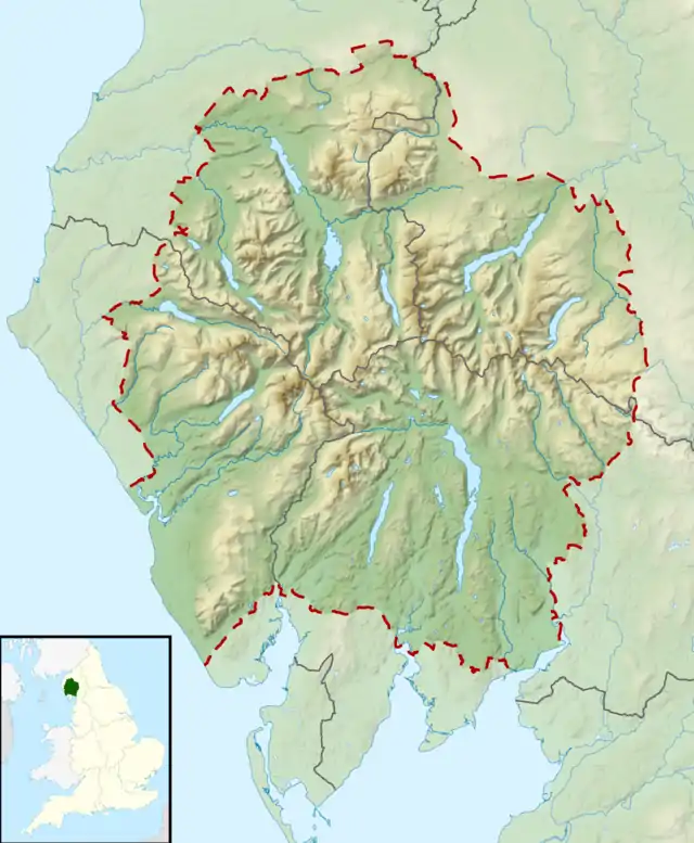
Whitfell (or sometimes Whit Fell) is a hill in the southwestern part of the Lake District. It is the highest point between Black Combe and Harter Fell on the broad ridge to the west of the Duddon Valley. Views from the summit include the full length of the Duddon Valley including its estuary; the western side of the Coniston fells; the Eskdale fells including Scafell and Bowfell; much of western Cumbria including the estuary of the Rivers Esk, Mite and Irt; the Isle of Man; as well as the hills to the south culminating in Black Combe.
| Whitfell | |
|---|---|
 From the summit of Kinmont Buck Barrow, looking to the flat summit of Burn Moor and Whitfell (centre), with the Duddon Valley right | |
| Highest point | |
| Elevation | 573 m (1,880 ft) |
| Prominence | c. 221 m |
| Parent peak | Black Combe |
| Listing | Marilyn, Outlying Wainwright¿ |
| Coordinates | 54°19′29″N 3°17′46″W |
| Geography | |
 Whitfell | |
| OS grid | SD158929 |
| Topo map | OS Landranger 96 |
The hill is relatively infrequently visited, and is a fairly characterless grassy mound, extensively grazed by sheep, though with a very large cairn, whose stones may be from a tumulus. A bridleway crosses the fell to the north of the summit, but it is probably more frequently visited on a round including Burn Moor at 1,780 feet (540 m), Kinmont Buck Barrow at 1,754 feet (535 m), and Buck Barrow at 1,799 feet (548 m) from the summit of the Corney Fell road, a route described by Alfred Wainwright in the "Whit Fell" chapter of his book The Outlying Fells of Lakeland.[1]
References
- Wainwright, A. (1974). "Whit Fell". The Outlying Fells of Lakeland. Kendal: Westmorland Gazette. pp. 156–161.
Marilyns of Northern England | ||
|---|---|---|
| 1. Northumberland |  | |
| 2. Northern Lakeland | ||
| 3. Western Lakeland | ||
| 4. Central and Southern Lakeland | ||
| 5. Eastern Lakeland | ||
| 6. North Pennines and Durham | ||
| 7. Northern Yorkshire Dales | ||
| 8. Southern Yorkshire Dales | ||
| 9. North York Moors to the Humber | ||
| 10. Forest of Bowland | ||